Practice instrument flying with interactive modules
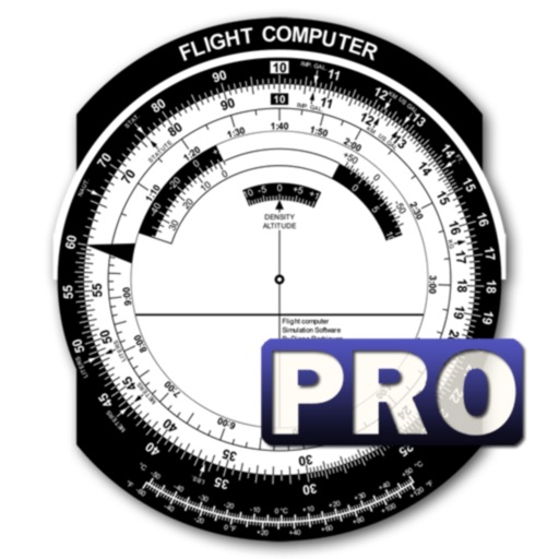
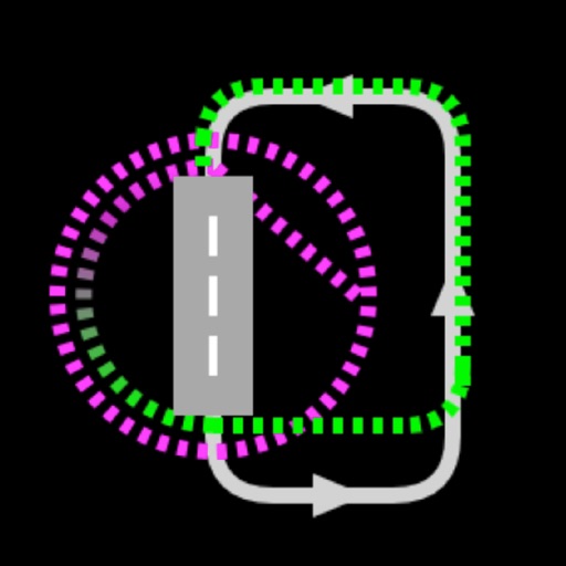
Learn instrument flying with interactive modules for ADF/RMI, VOR/ILS, HSI, and IFR procedures. Practice holding patterns and entries through animations and exercises. Use a built-in IFR simulator for training.
Manage drone flights with FAA-approved B4UFLY and LAANC services. Request airspace authorizations, check flight permissions, and plan safe operations. View real-time flight data and receive alerts for restricted areas.
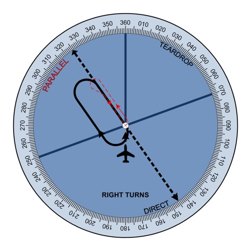
Learn IFR entries with interactive lessons and practice scenarios. Choose from multiple entry methods including parallel, teardrop, and direct. Test knowledge with quizzes and receive instant feedback.
Access real-time weather radar and wind maps to plan flights . View rain radar and no-fly zone data. Check wind patterns and atmospheric conditions. Navigate flight areas with accurate geographic insights.
Access real-time data including METAR, TAF, and NOTAM reports for 50,000+ airports. View satellite maps and decoded information. Filter nearby airports by runway length and METAR/VFR availability. Save favorites and organize into groups.
Check flight rules and airspace restrictions in the U.S. and Australia. View compliance maps from aviation authorities. Plan flights using Google Maps. Access controlled airspace with LAANC. Set flight locations and receive real-time updates.
Provides flight data management with downloadable weather briefings and dual data cycle support. It includes a glide ring for descent planning and a collapsible navlog for airway and procedure tracking.
Track flights in real-time with radar maps worldwide. Identify aircraft by pointing your device at them. Monitor family and friend flights to coordinate airport meetings. View status and route details.
Flights to multiple destinations and customize bookings. Add contact details to pre-fill future forms. Check in and receive real-time updates. View pre-travel checklists and manage trip details.