Plan and navigate boating trips with real-time tracking and high-resolution digital charts covering the US, Europe, and other regions. View vector charts with tappable buoys and lights. Pan and zoom seamlessly across maps.
Monitor and control boat systems with real-time data display. Connect to Signal K servers, NMEA 0183 devices, Navico MFDs, NMEA 2000 networks, and Victron Venus GX. Customize dashboards, view sensor data, and manage device settings remotely.
Monitor and control boat systems with real-time data display. Connect to NMEA 0183, Navico MFDs, NMEA 2000, Victron, and Chetco devices. Customize dashboard layouts. View engine status, position, and sensor readings.
Access real-time marine data such as navigation information, wind speed, and water depth. Connect iOS devices to a boat's network for data retrieval. Display data on a touchscreen interface. Share data with other devices on the network.
Navigate using weekly updated nautical charts from NOAA. Plan routes manually or automatically. Record GPS tracks and store navigation data including markers and routes. Share data with others. Display tides and currents.
The app provides detailed wind and weather forecasts for over 160,000 locations. It offers real-time measurements from 21,000 weather stations and tide forecasts for over 20,000 locations.
Plan and navigate boating trips with real-time updates and high-resolution NOAA charts. View detailed digital vector charts for US coasts, inland waters, and Great Lakes. Tap buoys and lights for bearing and distance.
Learn fundamentals through six interactive modules covering Points of Sail, Apparent Wind, Sail Trim, Tacking and Jibing, Rules of the Road, and Docking. Practice skills in a timed course simulation to apply knowledge in a realistic environment.
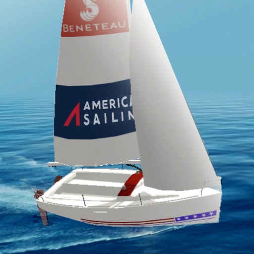
Learn sailing basics through realistic boat simulation. Adjust sails based on wind force and navigate races against AI opponents. Practice tacking, gybing, and downwind/upwind techniques. Monitor stability to prevent capsizing.
The app provides detailed wind and weather forecasts for over 160,000 locations. It offers current measurements, tide forecasts, and severe weather warnings for the US and Europe.
Navigate, track, and access real-time data onboard
Access real-time marine data including navigation, wind speed, and water depth. Connect iOS devices to a boat's network for instant information. View critical data on a touchscreen interface. Sync with NMEA systems for accurate readings.
Water sports sessions with speed, distance, heart rate, wind, and stroke data. Log activities like sailing, wingfoiling, and kayaking. Analyze performance trends and monitor progress over time. Sync data across devices for consistent tracking.
Access charts, maps, weather data, and AIS information. Navigate with worldwide chart coverage from multiple providers. View real-time weather and track vessel position. Set waypoints and measure distances between points.