Display S2 cell boundaries globally. View cell IDs and compare with real-world landmarks. Integrate with Ingress Intel Map to check portals and stops. Ensure new submissions align with cell boundaries.
by Simon Frost★ 4.33 ratingsNavigation$0.99Data updated 2026-10-05
Access maps for and Fatima with zoomable regions and interactive points of interest. Find public transport stops, restaurants, hotels, and attractions. View daily itineraries, budget-friendly accommodations, and shopping guides.
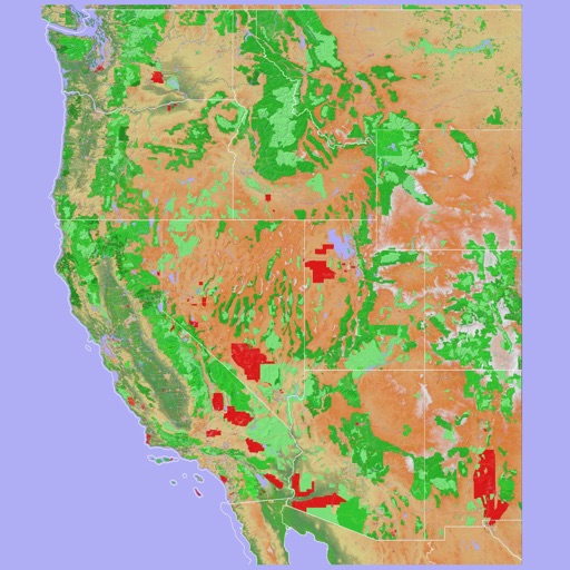
Access GPS navigation and land ownership data for fishing. Locate lakes with detailed fisheries information. View satellite imagery and apply filters for ice fishing. Find trails, access points, and land ownership details.
Explore offline maps of , Crete, Rhodes, Santorini, Corfu, Mykonos, and Paros. Use AR for navigation. View interactive points of interest like bus stops, restaurants, and museums.
Track individuals' locations using their number, contact list, or manual input. Send an SMS request to obtain precise GPS coordinates displayed on a map. Monitor real-time movement and view historical location data.
View NOAA and USACE nautical charts for U.S. waters in vector format. Create routes, waypoints, and boundaries. Sync navigation objects across devices. Track boat position and speed. Set and monitor alarms for depth, speed, and proximity.
Find transport options between locations with detailed route comparisons. View travel times, distances, and costs for train, ferry, bus, plane, and car. Save and share details. Check real-time availability and pricing.
Explore destinations with augmented reality overlays. View offline maps and regional details. Find points of interest like restaurants, hospitals, and transit stops. Access daily itineraries and budget-friendly accommodations.
The app provides access to peak information, route descriptions, route maps, and trailhead details for Colorado's 14ers. Users can access necessary information even when off the grid and record tracks for export.
Track real-time locations of family members or devices using GPS. View positions on an interactive map. Set up custom safety zones and receive alerts when locations enter or exit these areas. Share data with selected contacts.
View real-time bus arrival times and distance. Plan journeys using an interactive map with service and stop details. Search and purchase mobile tickets securely. Check bus schedules and locate stops.
Check real-time train and bus statuses from GOTransit.com. View live platform departure times for all stations. Find trip times by departure or arrival stops with up to two transfers. Purchase a single subscription for iPhone and iPad.
Navigate using a 3D topographic map of the USA and Hawaii. Access offline vector maps for navigation in vehicles or outdoors. Switch to online maps for global coverage with automatic caching. Explore locations with zoom and scroll features.
Explore self-guided walking tours of the city with detailed maps and points of interest. Navigate through curated routes featuring famous landmarks and hidden spots. Locate attractions and track your progress on an interactive map.
Navigate city streets with a detailed map to find attractions and points of interest. Follow self-guided walking tours to explore famous landmarks and hidden spots. Save favorite locations and receive turn-by-turn directions.
Measure land , distance, and perimeter using GPS and satellite maps. Define boundaries by placing points or walk the perimeter for hands-free tracking. Save and export measurement data for professional use.