Display S2 cell boundaries globally. View cell IDs and compare with real-world landmarks. Integrate with Ingress Intel Map to check portals and stops. Ensure new submissions align with cell boundaries.
by Simon Frost★ 4.33 ratingsNavigation$0.99Data updated 2026-10-05
Track real-time positions, distance, and direction with a high-precision GPS module and LoRa radio. Share location updates and communicate during outdoor activities without needing Wi-Fi, cell service, or subscriptions.
Explore locations with augmented reality overlays. Access offline maps for , Kutna Hora, Olomouc, and Benešov. View interactive points of interest including transport stops, restaurants, and museums. Find budget hotels and restaurants.
Plan trips by asking questions and receiving step-by-step guidance. Browse attractions like landmarks and neighborhoods. Compare and book tickets and tours directly. Save favorite places to build a personalized itinerary.
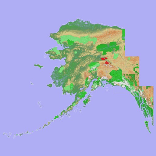
View 3D topographic maps of offline with vector data. Navigate by car, boat, plane, or on foot. Access worldwide satellite maps online with automatic caching. Toggle between map types and zoom to any location.
Track bus locations using real-time GPS data. Save favorite stops for quick access to arrival times. Plan trips with step-by-step transit directions from Apple Maps. Receive arrival notifications to stay informed.
View property listings with augmented reality features. for homes near you. Access MLS data. Explore properties using 3D views. Save favorite listings. Receive notifications on new listings. Compare property details side by side.
Track cycling speed, distance, and route in real time. Choose from three display modes: digital, analog, or map. View ride history and manage past rides. Automatically stop the timer when movement stops. Swipe to navigate between screens.
Track vehicle locations in real time with live GPS updates. Monitor speed, direction, and vehicle status. Review past routes, view exact paths, and analyze stops made.
Navigate using augmented reality for real-time directions. Access offline maps and metro guides for all regions. View interactive points of interest including transport stops and attractions.
Find stops and track real-time delays or service changes. View up to 5 nearby stations. Check arrival times and route options. Receive live updates without ads. Plan trips using accurate, current information.
View nearby towers on a map using current location. Tap on towers to see detailed information including signal strength, carrier, and ID. Optimize mobile network performance by identifying optimal locations.
Check real-time arrival times for EMT buses, Intercity buses, Metro, Cercanías, and Metro Ligero. Locate stops via map or stop code. View TTP card expiration date and receive expiration notifications.
Navigate using a 3D topographic map of the USA with offline access. View vector map data without internet. Use in vehicles or during hikes. Switch to global online maps with automatic caching for areas without coverage.
Explore cities with offline maps and AR navigation. Find points of interest like restaurants, museums, and transit stops. View daily itineraries and budget-friendly accommodations. Get shopping, nightlife, and safety tips.
View train schedules instantly without searching or waiting. Check real-time delays and service updates. See number of stops and switch between 12-hour and 24-hour time formats. No ads or distractions.
Plan public transport journeys by searching for routes or stops. View real-time locations of trams, metros, and trains in the capital region. Find stops via map or list. Check departures or full timetables.