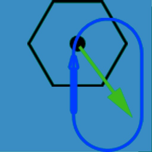
The app visually represents an aircraft and a holding pattern relative to a navigation aid. Users can learn to determine their position using ADF, VOR, and heading information, and identify correct entry patterns for standard and non-standard holds.
Calculate helicopter weight and balance by entering load data. Check against type-specific CG limits and load station constraints. View graphical displays of weight distribution. nd send mission manifests via email.
The app provides preparation for the FAA Instrument Rating Airplane Practical Test. It covers instrumentation, regulations, flight planning, charts, weather, emergencies, and aircraft systems.
Learn about the A320 aircraft with clear explanations of complex systems. Access visual aids to enhance understanding. Study for type ratings, command upgrades, or recurrent training. Review detailed diagrams and operational procedures.
The app configures Levil devices and displays AHRS data. It shows graphical and numerical data from Levil AHRS devices, excluding iPad/iPhone internal gyros or GPS data.
With digital signatures for legal binding agreements. Create custom signatures by drawing or uploading. Fill out and forms directly on the device. Securely store and share signed .
Study for the written with a question bank featuring categorized questions and detailed explanations. Review FAA materials and access solution algorithms for each task. No internet connection required.
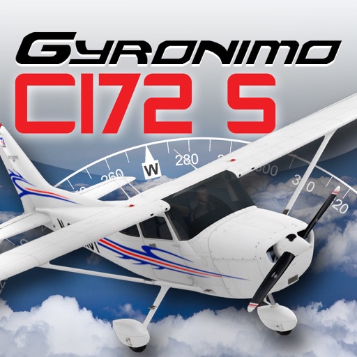
The app calculates and interpolates performance data for the Cessna 172 S using its Pilot's Operating Handbook. It displays results in high-resolution graphics and allows users to experiment with different scenarios to find optimal flight parameters.
Access FAA Private Written Exam practice tests and an E6B flight computer for cross-country planning and aircraft performance calculations. Offline ground school content is available for offline learning.
Access real-time and TAF reports for accurate aviation weather data. View wind speed, visibility, temperature, and cloud coverage. Set location preferences and receive updates. Share reports via email or messaging.
The app allows pilots to record and manage flights, track flight times and currencies, and access aviation weather. It provides flight time overviews, currency management with reminders, and optional GPS track recording.
The app records user flights with details including date, duration, aircraft, and airports. It offers statistics on flight numbers, durations, and aircraft usage, along with backup and restore tools.
The app uses a device's camera, gyroscope, and accelerometer to function as a sight level. Users can input the distance to a cloud, and the app calculates the height above or below it, correcting for the Earth's curvature.