Track mountain hikes with in- GPS, recording vertical gain and current elevation. Browse, search, and filter 600,000 peaks across 50 map layers, including topo and satellite views. Save hikes, collect peaks, and share progress with others.
by Apperies LLC.★ 4.825 ratingsNavigationFreeData updated 2026-09-06
Find scenic locations like forests, lakes, waterfalls, and mountain peaks. Explore activities including hiking, boating, and paragliding. Discover dining options such as breakfast spots, traditional Lebanese food, and view-based restaurants.
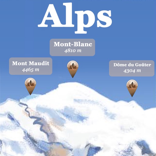
The app references over 20,000 peaks, passes, lakes, and shelters in the Alps. Users can find names, altitudes, and distances to summits and locate various points of interest on a 2D map.
Record runs with GPS tracking of speed, distance, and altitude. View saved routes on maps. Analyze performance with detailed stats and vertical movement data.
Provides location-based for road trips. Guides users to points of interest, suggests side trips, and offers local tips. Includes historical, geological, and cultural information. Automatically plays commentary based on location and direction.
Plan trips to parks with downloadable and guides. Access 125+ parks, 400+ from various agencies, and 1.700+ campgrounds. View Motor Vehicle Use and visitor for national forests.
Plan trips to parks with downloadable and guides. Access 100+ parks, 290+ from federal agencies, and 3,000+ campgrounds. View Motor Vehicle Use and visitor for national forests.
Plan hikes with built-in polls for group decisions. Share routes with friends for real-time tracking. View live location on preloaded maps without constant GPS use. Minimize battery consumption for longer hikes.
Plan trips to parks with downloadable and guides. Access over 100 parks, state parks, and monuments. View 170+ from government agencies. Find 1,000+ campgrounds and campsites. Includes motor vehicle use and visitor for national forests.
Plan trips to parks by downloading , brochures, and newspapers. Explore 80+ parks, 500+ campgrounds, 2,600+ trails, and 73,000+ points of interest. Access 60+ folded from federal and state agencies. Navigate without WiFi in wilderness areas.
Navigate off-road with 3D and GPS guidance. Filter trails by vehicle type including 4x4, SxS, and dirt bikes. Locate legal camping areas using USFS verified data. View property boundaries and access accessibility information.
Track elevation and atmospheric pressure with and barometer. Use compass for direction based on satellite location. Access weather updates and speedometer. Log steps with pedometer. View maps and use binoculars for scouting.
Plan trips to parks with downloadable and guides. Access 400+ parks, 340+ folded from various agencies, and 5,000+ campgrounds. View MVUM, MVTM, and visitor for national forests.
Plan trips to parks with offline and guides. Download detailed park , motor vehicle use , and visitor . Access 4,100+ campgrounds and 2,300+ trails. View information on national parks, state parks, and monuments.
Point your device at a mountain to see its name, altitude, and distance. Identify peaks in a 360-degree AR view. Access data for nearly one million peaks worldwide. Uses 3D coordinates and gyroscope for accurate display.
Manage mountain credits and track details. View real-time parking availability. Find dining, retail, and rental locations via interactive maps. Pay for food and drinks in-. Update family profiles. Browse lift status and resort information.
The app provides access to peak information, route descriptions, route maps, and trailhead details for Colorado's 14ers. Users can access necessary information even when off the grid and record tracks for export.
Find and book campsites with detailed listings and user reviews. Access map overlays for cell coverage and public lands. Filter by amenities and location. Save favorites and share recommendations with other campers.