
iPhone Screenshots
iPad Screenshots


Description
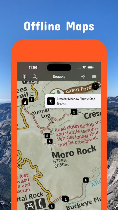
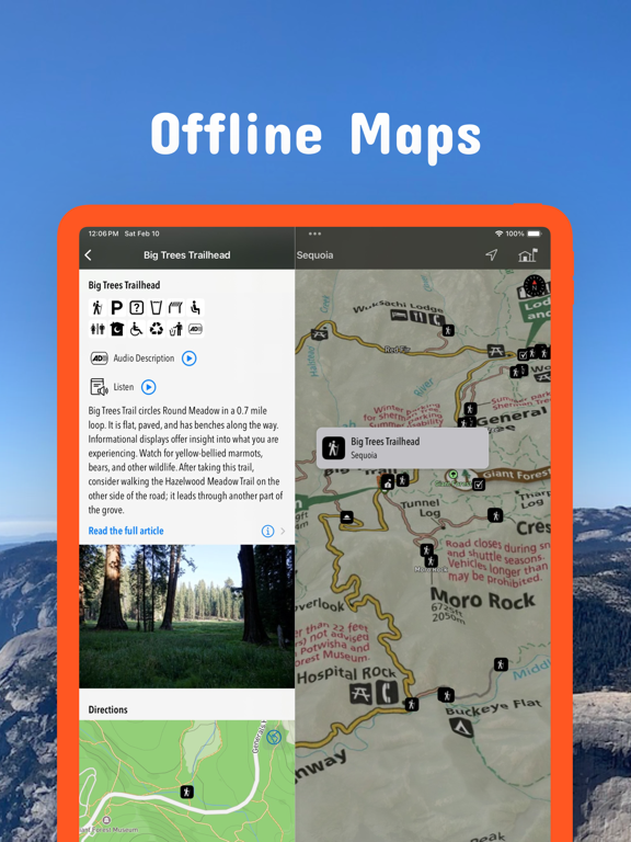
Plan trips to parks with downloadable and guides. Access 400+ parks, 340+ folded from various agencies, and 5,000+ campgrounds. View MVUM, MVTM, and visitor for national forests.
Be prepared! Plan your next trip to one of the great California parks. Download maps and guides before you venture into the Wi-Fi free wilderness.
Discover
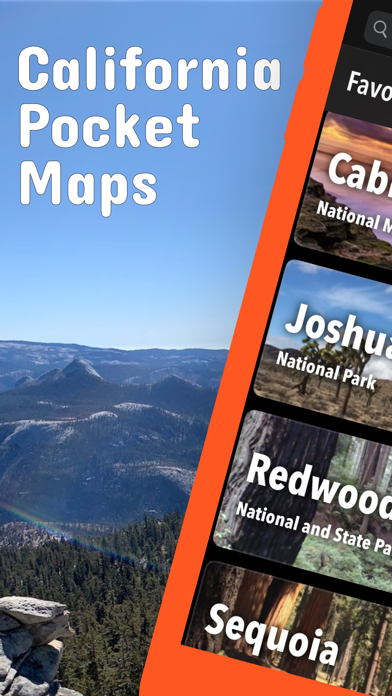
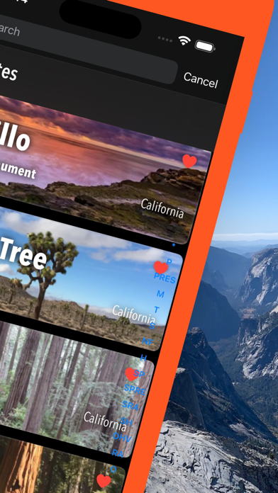
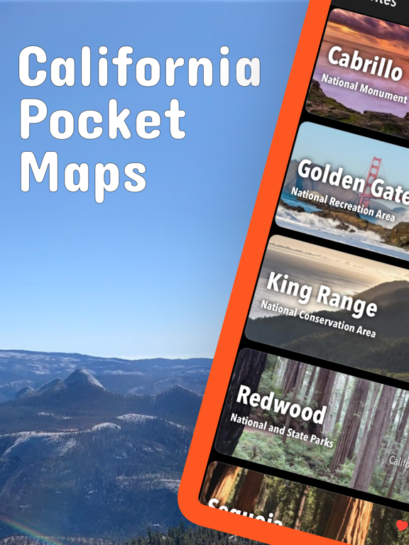
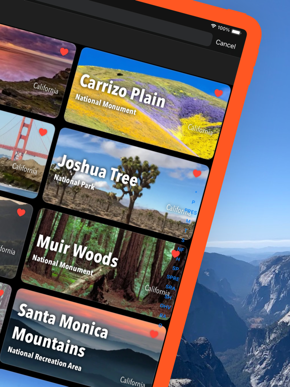
- 400+ national parks, state parks, monuments, forests
- 340+ neatly folded maps by the National Park Service, Bureau of Land Management, United States Forest Services, and other agencies.
- Motor Vehicle Use Maps (MVUM), Motor Vehicle Travel Maps (MVTM) and visitor maps for California national forests.
- 5,000+ campgrounds and campsites
- 6,200+ trails and trailheads
- 140,000+ points of interests
Plan
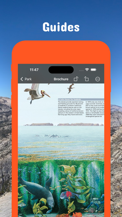
- Download maps, park brochures, and newspapers. These downloads are ready when you are offline and off the grid in the great outdoors.
- Download arbitrary map sections as offline packs.
- Photo galleries, panorama views.
- Share links to parks and maps with friends
Have fun
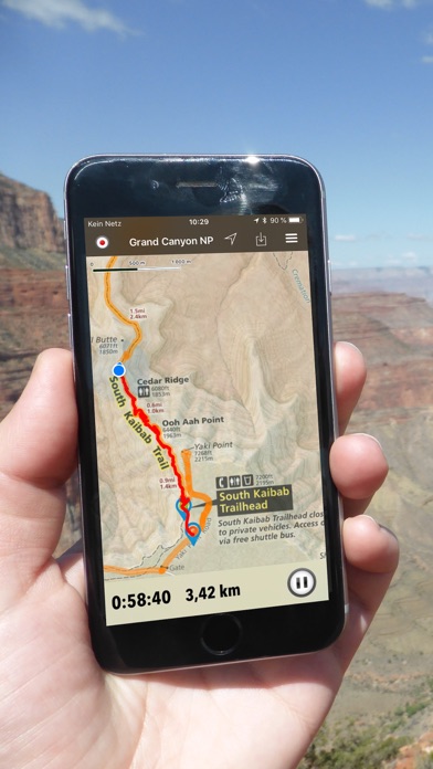
- GPS and GPX support: record your hikes, import GPX routes, tracks and waypoints for your hiking trails.
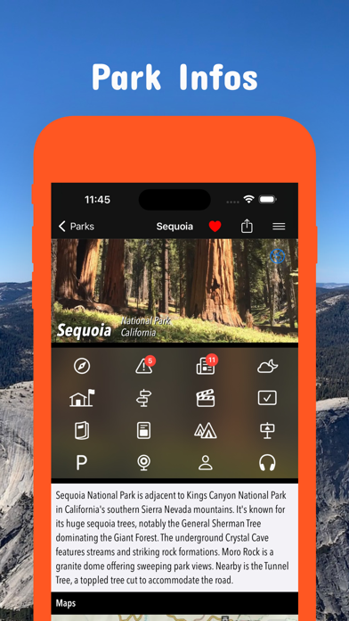
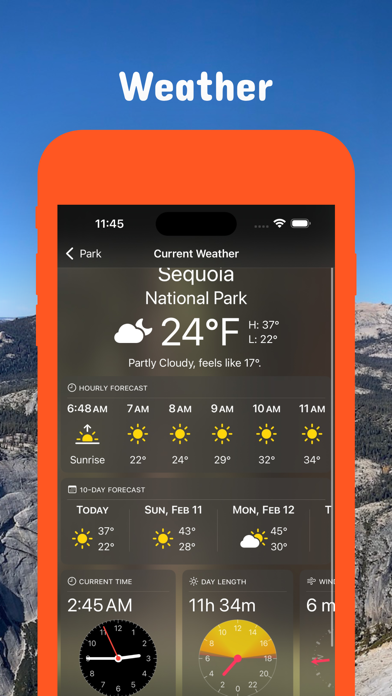
- Detailed national park information: alerts, news, visitor centers, campgrounds, driving directions, weather.
- Open your favorite maps app to get a route to the selected park.
- Current weather conditions, easy access to multi-day forecasts, sunrise and sunset times.
- Push notifications for park alerts, park news, weather warnings
So download maps and guides for:
Angeles
Anza-Borrego Desert
Berryessa Snow Mountain
Bizz Johnson
Cabrillo
California Costal - Point Arena - Stornetta Unit
Carrizo Plain
César E. Chávez
Channel Islands
Cleveland
Cow Mountain
Death Valley
Devils Postpile
East Bay Regional Parks
Eldorado
Fort Ord
Fort Sage
Golden Gate
Headwaters
Humboldt-Toiyabe
Inyo
Joshua Tree
Keysville
King Range
Kings Canyon
Klamath
Lake Tahoe
Lassen
Lassen Volcanic
Lava Beds
Los Padres
Mammoth Lakes
Manzanar
Mendocino
Midpeninsula Regional Open Space
Mojave
Mojave Trails
Nobles Emigrant Trail
Piedras Blancas Light Station
Pinnacles
Plumas
Point Reys
Presidio of San Francisco
Redwood
Rice Canyon
San Bernadino Mountains
San Francisco Maritime
San Gabriel Mountains
Sand to Snow
Santa Clara County Parks
Santa Monica Mountains
Santa Rosa and San Jacinto Mountains
Sequoia
Sierra
Six Rivers
Tahoe
Whiskeytown
Yosemite
There are additional useful information and brochures for many California state parks.
LEGAL
Terms of Use: https://www.icoat.de/pocketmaps/terms
Privacy Policy: https://www.icoat.de/pocketmaps/privacy
App information from Apple App Store. California Pocket Maps and related trademarks belong to Alex Gugel.