Apps Like Transconomy Collector for iPhone and iPad
Split data, assign areas, collect images
Navigation allows transportation agencies to divide project data into specific areas for image collection. Assign areas to data collectors who can view them on a map. Collectors capture images at specified spatial or temporal intervals.
by iENGINEERING Corporation★ 5.02 ratingsNavigationFreeData updated 2026-09-06
Collect and map field data with customizable forms and attributes. Capture data offline or online. Transfer data to desktop GIS platforms. Edit and manage attributes directly in the field. Sync data with preferred GIS software.
Plan routes and save them for future use. Create and manage tracks with waypoints. Share routes with friends. Download maps for navigation. Mark locations and export tracks in GPX format. No ads and no time limits for use.
The app displays public transit routes and stops in Amsterdam on an interactive map. Users can view lists of stops and available transport modes, with data from GVB and CXX agencies.
The app pairs with SPOT Connect, a satellite messenger for sending messages via satellite from remote locations. It sends location-based messages from areas beyond cellular phone coverage using the Globalstar satellite network.
Navigate using real-time maps and flight tracking. View weather data and airspace restrictions. Log flight details and share them with pilots. Set waypoints and monitor altitude. Sync with GPS devices and receive turn-by-turn guidance.
Track racing apps allow users to time laps and record data for various race types. Features include GPS lap timing, sector splits, HD video with data overlay, and circuit mode with predictive timing. Users can log lap, GPS, G-force, and OBD-II data.
Find officially approved hiking, biking, running, and ski touring routes near you and worldwide. View detailed trail information, including difficulty, length, and elevation. Plan trips, save favorite routes, and access maps and GPS navigation.
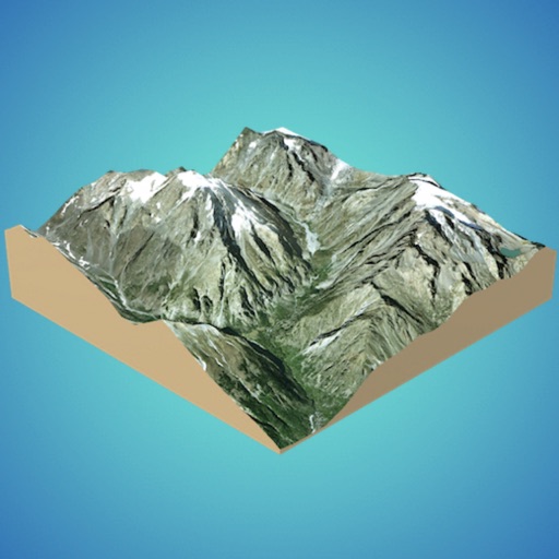
Create 3D models from online sources like Bing Maps or local cloud points. Export data as CSV, TXT, STL, or OBJ. Modify models by cutting, scaling, and animating. Calculate surface areas and volumes in real-world units.
Navigation allows users to plan trips and navigate without cellular service. View and edit maps based on OpenStreetMap data. Search waypoints and save locations offline. Track routes and share maps. Prioritize privacy with no user identification.
The app organizes location data into sets and groups. It displays and converts between coordinate formats, allowing for custom properties and map overlays.
Calculate distances and areas using GPS coordinates. Place markers on a map to measure distances between points or total of a route. Delete markers by tapping them. Export results for further use.
Navigate using real-time GPS and map data. Mark and save locations. Track movement and speed. Share coordinates with others. Use offline maps for areas with limited connectivity. Set waypoints and receive turn-by-turn directions.
The app allows users to create and edit information in OpenStreetMap. Users can add points of interest, streets, paths, buildings, and bodies of water, with full undo/redo support and offline capabilities.
Provide real-time GPS navigation with turn-by-turn voice guidance and live traffic updates. Display speed limits and alert drivers to traps. Access offline maps for areas without internet. Share routes and track progress during trips.