

Apps Like Cardinal - Outdoor Companion for iPhone and iPad
Navigate trails, roads, and cities
Navigate locations with turn-by-turn directions and map views. Search for points of interest and save favorite spots. Share routes with others and receive real-time location updates. Track progress and explore nearby landmarks.
Cardinal - Outdoor Companion screenshots
Ranked alternatives
Showing 521–540 of 1,000 ranked alternatives.


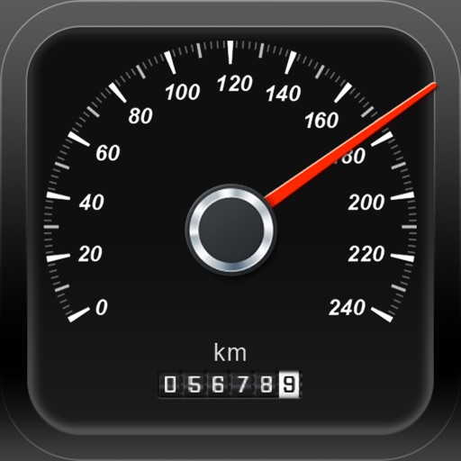
SpeedoMeter + Free
Matteo Morelli
Track speed, coordinates, altitude, direction.
The app transforms an iPhone into a functional speedometer. It tracks current speed, GPS coordinates, altitude, direction, and maximum speed.
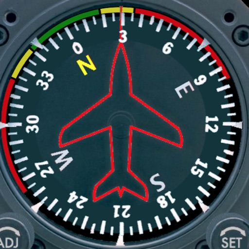
Aircraft Heading
Sean Flanagan
Track with realistic indicator
Displays a photorealistic -style indicator with both analog and digital readouts. Users can toggle rotation lock, simulate the instrument indoors, and view improved graphics. Supports latest iOS versions and includes bug fixes.



Compass 54 Lite
Elen Bekzadyan
Track device orientation and magnetic fields
Displays real-time device orientation relative to magnetic fields. Switch between true and magnetic North. Shows location coordinates, course, speed, and altitude. Tracks movement and provides directional data.

Military CYPRES Calculator
Joe Lewis
Calculate pressure and adjust settings
Calculate pressure at the target DZ using the method. Input the DZ altimeter setting and other required parameters. Display results for use with the in Operational Mode. Perform calculations without needing the physical circular .


Stegra.io - Motorcycle GPS
Stegraio AB
Plan routes, navigate trails, track your journey
Plan and navigate routes with tailored maps and intelligent routing. Discover unpaved tracks, scenic backroads, and hidden gems. Get turn-by-turn directions offline and online. Sync with devices for real-time navigation.


Jetting Rotax Max Kart
BALLISTIC SOLUTIONS RESEARCH & DEVELOPMENT SOFTWARE SIARHEI RAICHONAK
Jet your with precise settings
Provides recommendations for 125 Max non-EVO engines based on temperature, altitude, humidity, atmospheric pressure, and engine configuration. Displays carburetor type and restrictor options.

AirLab: Air Density & Altitude
BALLISTIC SOLUTIONS RESEARCH & DEVELOPMENT SOFTWARE SIARHEI RAICHONAK
Calculate air and
Calculate air and using weather data from OpenWeatherMap, MET Meteorologisk Institute, and Amazon. Access GPS and barometer for accurate readings. Retrieve weather data via Bluetooth.


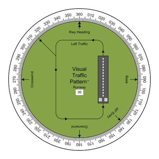
Visual Traffic Pattern
Arthur Varrassi
View runway patterns with finger rotation
Allows pilots to view runway patterns with finger rotation. Display includes left and right patterns, crosswind, downwind, base, and 45-degree entry headings. Magnetic runway orientation matches aircraft heading for approach visualization.
How we rank alternatives
Apps are ranked by functional similarity, category fit, rating confidence, and popularity.