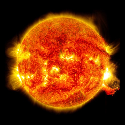
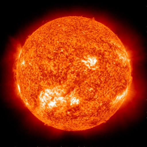
Monitor live solar imagery from NASA's Solar Dynamics Observatory. Track solar flares and coronal mass ejections. Receive alerts and forecasts for northern and southern lights. View real-time Kp index predictions and visibility maps.
View satellite imagery updated in near real-time. Track hurricanes, storms, and severe . Monitor wildfires and smoke. Explore current and forecasts for rain, wind, temperature, and pressure. and interact with global maps.
Track radio propagation between any two global locations. Estimate HF conditions using forecasting tools. View solar activity data and propagation graphs. Set alerts for optimal listening times. Share forecasts with other users.
The app provides 15-day and hourly weather forecasts, severe weather alerts, and radar images. It includes air quality, earthquake data, and tide predictions.
Plan and execute drone flights with pre-programmed missions. Capture and view high-resolution aerial images and videos. nd share interactive maps, orthomosaics, and 3D models. Manage data and settings directly from the mobile device.
Monitor system performance and control battery storage
Monitor solar production, home energy use, and battery power flow in real time. Track historical performance and consumption data. Adjust battery settings and control system functions remotely.
View current and forecasted weather with hourly and 14-day predictions. Access Doppler and real-time visuals. Use Premium Widgets to display critical weather data. Track severe weather alerts and details.
Manage bookmarks and set personal reminders. Use the Qiblih Compass for prayer direction. Track solar times and view the World News Service Feed. Receive daily notifications with holy verses. Access the Badí Calendar for date tracking.
Determine qibla direction based on location. Calculate prayer times using location-based calculations. View calendar with event recording and date navigation in multiple languages. Set reminders for prayer times and events.
The app displays outdoor temperature, humidity, pressure, and discomfort index using an analog gauge. It provides current conditions and short-term trends based on the user's location or manually added cities.