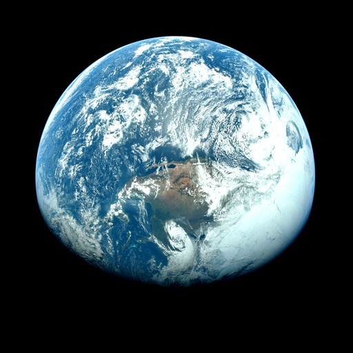
Apps Like Orbiter - Earth Visualizer for iPhone and iPad
View satellite images and time-lapse overlays
View satellite imagery and time-lapse data to analyze features. Compare images using an A/B slider. Visualize environmental data like air pollution, vegetation, and sea ice. Explore unfiltered satellite views from the ESA’s Sentinel-2 satellites.
by Rayner Software★ 4.657 ratingsTravelFreeData updated 2026-09-29
Access real-time data with high-resolution radar and satellite imagery. Track severe trends and view current conditions updated frequently. Save favorite locations and use GPS for location-based forecasts.
Check current and hourly weather for 24 hours. View 15-day forecasts and precipitation maps. Monitor air quality with color-coded indicators. Receive alerts for severe weather events. Add multiple locations for global tracking.
Access real-time data with high-resolution radar and satellite imagery. Track severe trends and view current conditions updated frequently. Save favorite locations and use GPS for location-based forecasts.
Access real-time updates multiple times per hour. View high-resolution satellite imagery and 250-meter radar. Track severe with future radar predictions. Add and save favorite locations. Use integrated GPS for current location data.
View current updates multiple times per hour. Access high-resolution satellite imagery and 250-meter radar. Track severe with future radar predictions. Add and save favorite locations. Use integrated GPS for location-based forecasts.
Explore a 3D model of with real-time sun position and dynamic lighting. Rotate the globe, zoom in on continents, and view and galaxies. Adjust lighting effects and track celestial movements. Share the view via screen recording or screenshot.
Access current updates multiple times per hour. View high-resolution satellite imagery and 250-meter radar. Save favorite locations and receive opt-in push alerts. Get daily and hourly forecasts from computer models.
View and download NOAA electronic navigational for offline use. Access in NOAA or ECDIS formats. Overlay NOAA weather for real-time conditions. Display buoys, beacons, lights, and natural/man-made features. Track radar and fog signals.
View current weather updates multiple times per hour. Access high-resolution satellite cloud imagery and 250-meter radar. Track severe weather with future radar projections. Save favorite locations and use integrated GPS for location-based forecasts.
Access real-time weather data with high-resolution radar and satellite imagery. View current conditions and forecasts updated hourly. Add and save favorite locations. Track severe weather movement with future radar predictions.
The app provides current weather conditions updated multiple times per hour. It offers daily and hourly forecasts updated hourly, with access to station content and severe weather alerts.
View current updates multiple times per hour. Access high-resolution satellite cloud imagery and 250-meter radar. Check daily and hourly forecasts updated hourly. Add and save favorite locations. See future radar for severe movement.
Access real-time sea surface temperature maps, high-definition satellite imagery, and marine weather . Track water color, currents, tides, and moon phase. Mark and save GPS locations for temperature breaks and color barriers.
View current updates multiple times per hour. Access high-resolution satellite cloud imagery and 250-meter radar. See future radar for severe movement. Save favorite locations. Obtain daily and hourly forecasts from computer models.
The app provides 250 meter radar with future radar and high-resolution satellite imagery. It offers current weather updates, daily and hourly forecasts, and severe weather alerts from the National Weather Service.
Access current updates multiple times per hour. View high-resolution satellite imagery and 250-meter radar. Add and save favorite locations. Receive hourly forecasts and future radar for severe tracking. Use integrated GPS for location-based alerts.
The app provides hyperlocal weather forecasts using data from personal weather stations and official sources. It offers 15-day daily and hourly forecasts, interactive radar, and severe weather alerts.
Access pro tournament strategies and leverage an intelligence engine that processes input combinations to identify optimal spots. Track fish behavior, analyze conditions, and receive real-time updates to improve catching efficiency.