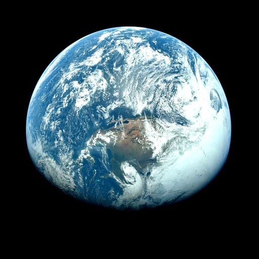
Apps Like Orbiter - Earth Visualizer for iPhone and iPad
View satellite images and time-lapse overlays
View satellite imagery and time-lapse data to analyze features. Compare images using an A/B slider. Visualize environmental data like air pollution, vegetation, and sea ice. Explore unfiltered satellite views from the ESA’s Sentinel-2 satellites.
by Rayner Software★ 4.657 ratingsTravelFreeData updated 2026-09-29
View and radar images for specific regions. Select between infrared, visible, and temperature views. Access radar, accumulated precipitation, and forecast rainfall data. Display real-time information from Central Bureau .
View current updates multiple times per hour. Access high-resolution satellite imagery and 250-meter radar. Track severe with future radar predictions. Save favorite locations and use integrated GPS for location-based forecasts.
View current updates multiple times per hour. Access high-resolution satellite imagery and 250-meter radar. Check hourly and daily forecasts from computer models. Add and save favorite locations. Use integrated GPS for location awareness.
Access current updates multiple times per hour. View high-resolution satellite imagery and 250-meter radar. Save favorite locations and receive opt-in push alerts. Track hourly and daily forecasts. Use integrated GPS for location-based data.
Navigate using weekly updated nautical charts from NOAA. Plan routes manually or automatically. Record GPS tracks and store navigation data including markers and routes. Share data with others. Display tides and currents.
View current updates multiple times per hour. Access high-resolution satellite imagery and 250-meter radar. Track severe with future radar predictions. Add and save favorite locations. Use integrated GPS for location awareness.
Access current updates multiple times per hour. View high resolution satellite imagery and 250 meter radar. Check daily and hourly forecasts from computer models. Add and save favorite locations. Use integrated GPS for location awareness.
View current and forecasted weather with six-day data. Check radar and satellite imagery. Track wind, rain, tide, swell, and UV levels. See moon phases and sunrise/sunset times. Locate specific areas for detailed forecasts.
View current updates multiple times per hour. Access high-resolution satellite imagery and 250-meter radar. See future radar for severe direction. Save favorite locations. Use integrated GPS for precise location data.
Access current updates multiple times per hour. View high-resolution satellite imagery and 250-meter radar. Add and save favorite locations. Receive daily and hourly forecasts updated hourly. Use integrated GPS for location-based alerts.
Check current weather, wind speed, air quality, and sea conditions. View radar images and meteograms. Customize widgets. Access live webcams. Set alerts for severe weather. Track forecast changes in real time.
View current updates multiple times per hour. Access high-resolution satellite imagery and 250-meter radar. Track severe with future radar predictions. Add and save favorite locations. Use integrated GPS for location-based forecasts.
Check current weather with customizable widgets on Home and Lock screens. View hourly and 14-day forecasts. Access real-time UV Index and Air Quality Index. Explore interactive 3D Earth globe with Doppler radar maps and precipitation data.
View current updates multiple times per hour. Access high-resolution satellite imagery and 250-meter radar. Add and save favorite locations. Receive hourly forecasts and future radar for severe tracking. Use integrated GPS for location-aware data.
View current updates multiple times per hour. Access high-resolution satellite imagery and 250-meter radar. Track severe with future radar predictions. Save favorite locations and use integrated GPS for location awareness.
View current updates multiple times per hour. Access high-resolution satellite imagery and 250-meter radar. See future radar for severe movement. Add and save favorite locations. Use integrated GPS for location awareness.
The app provides real-time severe weather updates with instant push notifications and detailed radar images. Users can track storms, view forecasts, and receive alerts for various weather events and earthquakes.
Access real-time weather forecasts with 7-day NOAA data. Tap any location for precise , wave, and weather details. View overlays for comprehensive coverage. Check point and zone forecasts based on NDFD data.
View current updates multiple times per hour. Access high-resolution satellite imagery and 250-meter radar. Track severe with future radar predictions. Save favorite locations and use integrated GPS for location-based forecasts.
The app provides current weather, daily and hourly forecasts, and severe weather alerts. It features high-resolution radar and satellite imagery, with current weather updated multiple times per hour.