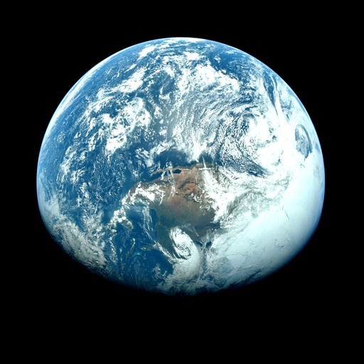
Apps Like Orbiter - Earth Visualizer for iPhone and iPad
View satellite images and time-lapse overlays
View satellite imagery and time-lapse data to analyze features. Compare images using an A/B slider. Visualize environmental data like air pollution, vegetation, and sea ice. Explore unfiltered satellite views from the ESA’s Sentinel-2 satellites.
by Rayner Software★ 4.657 ratingsTravelFreeData updated 2026-09-29
View current updates multiple times per hour. Access high-resolution satellite imagery and 250-meter radar. See future radar for severe direction. Add and save favorite locations. Use integrated GPS for location awareness.
View current updates multiple times per hour. Access high-resolution satellite cloud imagery and 250-meter radar. See future radar for severe movement. Obtain daily and hourly forecasts updated hourly.
Access charts, maps, weather data, and AIS information. Navigate with worldwide chart coverage from multiple providers. View real-time weather and track vessel position. Set waypoints and measure distances between points.
View current updates multiple times per hour. Access high-resolution satellite imagery and 250-meter radar. Track severe with future radar predictions. Save favorite locations and use integrated GPS for location-based forecasts.
Access real-time updates multiple times per hour. View high-resolution satellite imagery and 250-meter radar. Track severe with future radar projections. Add and save favorite locations. Use integrated GPS for current location data.
View current updates multiple times per hour. Access high-resolution satellite imagery and 250-meter radar. See future radar for severe direction. Add and save favorite locations. Use integrated GPS for location awareness.
View current weather updates multiple times per hour. Access high-resolution satellite imagery and 250-meter radar. See future radar for severe weather movement. Save favorite locations. Check daily and hourly forecasts from computer models.
View real-time and forecast air index data for specific locations. Check daily counts and five-day allergy forecasts. Access NOAA Doppler radar and weather maps for pollution, air , and .
The app provides access to station content and a 250-meter radar with future radar capabilities. It includes high-resolution satellite imagery, current weather updates, and daily/hourly forecasts.
Displays current with minimum and maximum temperatures. Shows 72-hour and 10-day forecasts for global cities. Automatically detects location. Includes animated satellite maps with wind, rain, temperature, and cloud layers.
Access real-time updates multiple times per hour. View high-resolution radar and satellite imagery. Add and save favorite locations. Use integrated GPS for current location data. Check daily and hourly forecasts from computer models.
Get precise forecasts for any location using GPS or manual input. View 7-day forecasts with hourly updates and detailed metrics like temperature, precipitation, wind, and rainSPOT. Access 5-day meteograms and track predictability.
Display real-time air quality data for your location. Show pollen forecasts for the US and Europe. Switch between air quality standards for US, China, UK, and India. Receive pollution and pollen alerts.
Access current updates multiple times per hour. View high-resolution satellite imagery and 250-meter radar. Track severe and forecast changes hourly. Add and save favorite locations. Use integrated GPS for location awareness.
Access real-time data with high-resolution radar and satellite imagery. View current conditions and forecasts updated hourly. Add and save favorite locations. Use integrated GPS for location-based alerts.
Access real-time data with high-resolution radar and satellite imagery. Track severe trends and view current conditions updated frequently. Save favorite locations and use GPS for accurate local forecasts.
Find and book campsites with detailed listings and user reviews. Access map overlays for cell coverage and public lands. Filter by amenities and location. Save favorites and share recommendations with other campers.
View current updates multiple times per hour. Access high resolution satellite imagery and 250 meter radar. Track severe with future radar predictions. Save favorite locations and use integrated GPS for location awareness.
View current weather updates multiple times per hour. Access high-resolution satellite imagery and 250-meter . See future for severe weather tracking. Save favorite locations and use integrated GPS for location awareness.
View current and forecasted with hyperlocal accuracy. Check hourly updates, radar maps, and severe alerts. Customize widgets for quick access. Track air quality and UV index. Share data with friends.