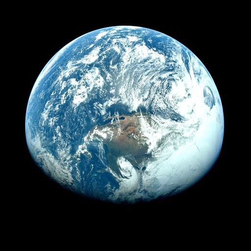
Apps Like Orbiter - Earth Visualizer for iPhone and iPad
View satellite images and time-lapse overlays
View satellite imagery and time-lapse data to analyze features. Compare images using an A/B slider. Visualize environmental data like air pollution, vegetation, and sea ice. Explore unfiltered satellite views from the ESA’s Sentinel-2 satellites.
by Rayner Software★ 4.657 ratingsTravelFreeData updated 2026-09-29
Monitor earthquakes with real-time and 3D globe maps. View satellite and street maps with fault lines. Filter and sort data from multiple sources. Access links to USGS event pages, PAGER forecasts, and tsunami .
View current and forecasted weather with hourly and 14-day predictions. Access Doppler and real-time visuals. Use Premium Widgets to display critical weather data. Track severe weather alerts and details.
Access real-time data with high-resolution radar and satellite imagery. View current conditions and forecasts updated hourly. Add and save favorite locations. Track severe movement with future radar predictions.
View current updates multiple times per hour. Access high-resolution satellite imagery and 250-meter radar. Check hourly and daily forecasts from computer models. Add and save favorite locations. Use integrated GPS for location-based data.
Access real-time data with high-resolution radar and satellite imagery. Track severe trends and view current conditions updated frequently. Save favorite locations and use integrated GPS for location-based alerts.
Access real-time buoy data and 5-day forecasts from NWS. View 6-hour wave trends and 7-day hourly wave and tide predictions. Overlay NOAA maps and check offshore zone forecasts. Receive detailed NWS discussions and use the Apple Watch for alerts.
Check current conditions and forecasts. View interactive radar maps. Receive customizable severe alerts. Access hyper- forecasts from personal stations. Track microclimate changes and historical data.
View 14-day forecasts with detailed hourly predictions. Check precipitation chances and temperature trends. Receive alerts and storm warnings. Customize themes and layouts. Sync with Apple Watch for real-time updates.
Access real-time updates with multiple hourly refreshes. View high-resolution radar and satellite imagery. Track severe trends with future radar predictions. Save favorite locations and use integrated GPS for location-based alerts.
View forecasts with satellite maps and Doppler . Check hourly temperatures and hurricane alerts from NOAA. Access live traffic updates and emergency transit alerts. Track current sun position and daily history.
View current conditions and hourly forecasts. Access high-resolution satellite imagery and 250-meter radar. Save favorite locations. Receive video forecast updates and blogs. Track future radar movements.
Access real-time weather data with high-resolution radar and satellite imagery. View current conditions and forecasts updated hourly. Add and save favorite locations. Track severe weather movement with future radar predictions.
Access real-time data with high-resolution radar and satellite imagery. View current conditions and forecasts updated hourly. Add and save favorite locations. Use integrated GPS for location-based alerts and tracking.
View current updates multiple times per hour. Access high-resolution satellite cloud imagery and 250-meter radar. See future radar for severe movement. Obtain daily and hourly forecasts updated hourly.
View current updates multiple times per hour. Access high-resolution satellite imagery and 250-meter radar. See future radar for severe direction. Add and save favorite locations. Use integrated GPS for location awareness.
View current updates multiple times per hour. Access high-resolution satellite imagery and 250-meter radar. Track severe with future radar predictions. Save favorite locations and use integrated GPS for location-based forecasts.