
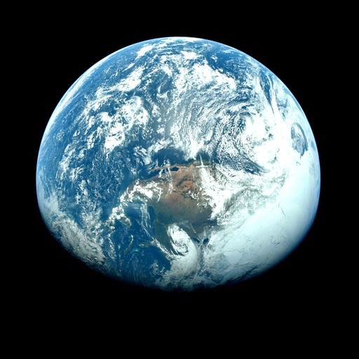
Apps Like Orbiter - Earth Visualizer for iPhone and iPad
View satellite images and time-lapse overlays
View satellite imagery and time-lapse data to analyze features. Compare images using an A/B slider. Visualize environmental data like air pollution, vegetation, and sea ice. Explore unfiltered satellite views from the ESA’s Sentinel-2 satellites.
Orbiter - Earth Visualizer screenshots
Ranked alternatives
Showing 421–440 of 1,000 ranked alternatives.



Scenic Map Western USA
Mark Granger
Explore 3D maps offline worldwide
Navigate using a 3D topographic map of the USA and Hawaii. Access offline vector maps for navigation in vehicles or outdoors. Switch to online maps for global coverage with automatic caching. Explore locations with zoom and scroll features.

KRGV FIRST WARN 5 Weather
Mobile Video Tapes, Inc.
Access weather information on the go.
The app provides access to station content and current weather updated multiple times per hour. It includes 250 meter radar, future radar, satellite imagery, and daily and hourly forecasts.

Mediterranean Sea HD GPS Chart
Flytomap
Worldwide marine and outdoor maps.
The app provides worldwide marine and outdoor maps, satellite imagery, and terrain overlays. It offers local marine weather forecasts, tide data, and wind information, functioning without mobile coverage.


Live Earth Camera: Street View
旖琳 张
Scenes globally
-level footage from any location worldwide. Navigate through real-time camera feeds to explore cities, nature, and wildlife. Access travel tips and discover streams from various global locations.

WGPS 2 AR | GPS Display App
Makoto Katsumata
Locate, share, and update position
Displays current location with address, latitude, longitude, altitude, and time. Includes AR navigation and satellite map views. Share location data. Choose from 4 theme colors. Automatically updates location and unlocks screen.

Planetary Weather
Technospirits LLC
Explore solar system weather today.
The app provides daily temperature and wind speed for planets, moons, and the Sun. It displays the solar system in 3D with data based on NASA and NOAA information.

Russell Lands
Resorts Tapped LLC
Explore trails, share locations, record treks
Explore trails in Forest with a detailed map. Track your location and share it with friends. Record treks, view distances, and sync workouts with Apple Health. Replay treks on the map and email images to friends.

KTVF Interior Weather
Gray Television Group, Inc.
Track , radar, and forecasts
View current updates multiple times per hour. Access high-resolution satellite imagery and 250-meter radar. Add and save favorite locations. Receive hourly forecasts with daily and hourly predictions. Use integrated GPS for location-based data.


Live Accurate Weather
KuXun Technology Co., Ltd.
Check current and forecasts
Check current and forecasts for your city and global locations. View temperature, wind, and radar data. Receive alerts and track storms. Monitor local air quality.

Ouranos: Clear Sky Forecast
Paul Joly
Track weather, view stars, share sightings
Plan stargazing sessions with accurate weather forecasts and astronomical data. Track celestial events like meteor showers and planetary alignments. Share observations and connect with other astronomy enthusiasts.


FOX 35 Orlando Storm Team
Fox Television Stations, Inc.
Track local forecasts anywhere in Florida.
The app provides local forecasts for Central Florida, including radar, hourly, and 7-day weather information. It offers severe weather alerts from the National Weather Service to help keep users safe.

How we rank alternatives
Apps are ranked by functional similarity, category fit, rating confidence, and popularity.