
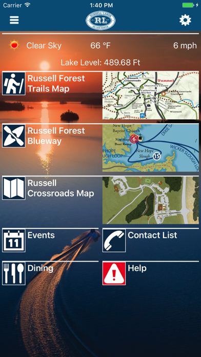
Russell Lands
Explore trails, share locations, record treks
Resorts Tapped LLC
iPhone Screenshots


iPad Screenshots


Description
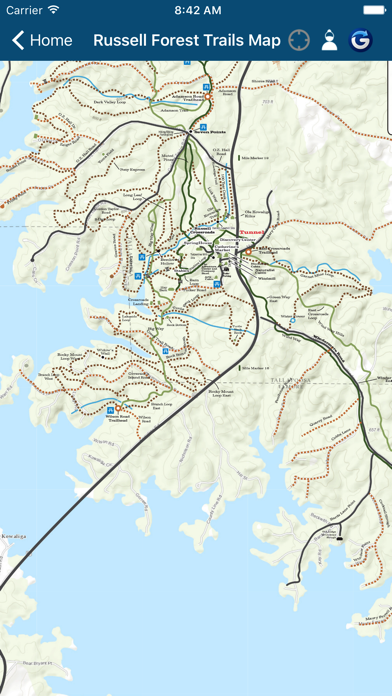
Explore trails in Forest with a detailed map. Track your location and share it with friends. Record treks, view distances, and sync workouts with Apple Health. Replay treks on the map and email images to friends.
Russell Lands is your official guide to Russell Lands on Lake Martin, all at your fingertips.
• Explore over 100 miles of Russell Forest trails. Locate yourself on the trail map.
• Share your location with friends, and see your friends' locations on the trail map.†
• Record your treks and the distances you travel. If you have an Apple Watch, record your treks as a workout and see your workout in the Health app. Display your treks and replay them on the trail map. Email images to friends, post them to Facebook and other social media, or view them in Google Earth.†
• Find up-to-date information about Russell Lands, including weather and amenities.
• Easily locate and contact restaurants with the built in directory.
• Learn about events from the events calendar.
• Get the latest news from Russell Lands via the Russell Lands Blog and Facebook posts.
† Location and logging services require a GPS-equipped device. Continued use of GPS running in the background can dramatically decrease battery life.
App information from Apple App Store. Russell Lands and related trademarks belong to Resorts Tapped LLC.