The app provides information about the European Space Agency's CryoSat mission. It details the mission's objectives, technology, and includes visualizations of real measurements and the satellite's orbit.
Navigate with offline marine, lake, and outdoor maps. Access worldwide satellite and terrain overlays. View local weather forecasts. Use NOAA, USGS, and DRG data for detailed charting.
Navigate with marine and outdoor offline. Overlay satellite and terrain data on charts. Access local weather forecasts. View worldwide and satellite imagery when connected. Use NOAA raster data for detailed navigation.
The app provides worldwide marine, lake, and outdoor maps, satellite imagery, and terrain features. It offers local weather forecasts, tide data, and community information for boaters and fishermen.
Find locations and points of interest with detailed search. Navigate using turn-by-turn directions for driving, motorcycle, and public transport. Support Apple CarPlay and multi-mode routing. Track real-time traffic and road conditions.
Track volcanic activity with real-time updates and . View eruption history and current status. Explore global volcano locations with maps. Receive notifications from VAAC. Save and share volcano data.
Compare territories by moving and resizing them to visualize relative sizes. Learn statistics about area and population. Explore different map projections and their distortions.
Monitor UV Index levels for any location globally. View current UVI and forecast for the day. Select locations to check UV levels. Receive alerts for high UV exposure. Track sun elevation impact on UV intensity.
The app provides definitions and history for national flags. It also includes official country names, capitals, locations, area, population, and national anthems.
Lets users view global train track networks with three layers: standard, speed, and signals. Users can explore track details, check train speeds, and view signal information. The caches visited locations for faster access.
Take an to determine your Intelligence Quotient. View instant score and normal distribution ranking. Review correct and incorrect answers to identify strengths and areas for improvement.
Create and organize ideas using maps. Add notes, links, and images to nodes. Convert maps into presentations. Share and collaborate in real time. Sync maps across devices and access from any browser.
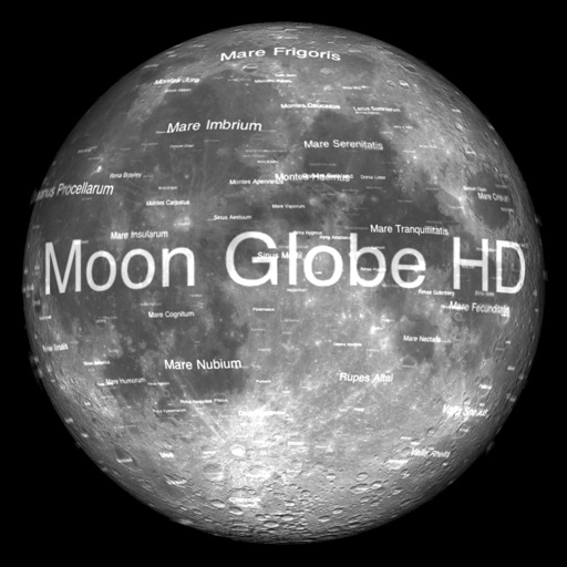
The app displays Earth's Moon in realtime 3D using satellite imagery and topographic data. Users can manipulate the view, switch to Telescope mode, and adjust the display time to observe shifting sunlight on the lunar landscape.
Displays real-time location and current /sector boundaries. Shows crime/incident data and sector maps. Includes satellite and street view layers. Provides quick access to contact info and navigation tools.
Offers real-time transit data and an official CTA map. Users can search routes, view transfer options, and check travel time, fare, and distance. The provides details on nearby attractions and current navigation updates.