Distances, areas, and routes on maps using standard, satellite, terrain, and hybrid views. Calculate total area between points or along a route. Display coordinates in UTM and MGRS formats.
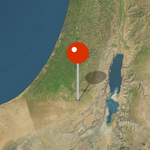
Explore biblical locations with interactive maps and historical artifacts. Zoom into detailed regions, view ancient sites, and discover how archaeological findings support biblical narratives.
Get accurate GPS and latitude longitude instantly. Display in multiple formats including DMS, UTM, and MGRS. Convert between coordinate systems. Share precise location data directly.
Track hikes with distance, vertical gain, time, and calories burned. View maps with color-coded elevation tracks and stats on Apple Watch. Backup data to iCloud and share between devices. Use USGS and satellite maps for navigation.
The app displays the user's current location in the UTM coordinate system. It provides the UTM Grid Ref, Compass Bearing, WGS84 Latitude and Longitude, and Hemisphere.
Learn geography by identifying countries, US states, UK counties, and London boroughs. Practice at your own pace with unlimited attempts or test speed with a timed challenge allowing three mistakes. View and compare top scores globally.
The app provides up-to-date arrival times based on GPS location of streetcars and buses. It also offers real-time location tracking and push notifications for service interruptions.
Users can view and convert coordinates between multiple datums including WGS84, NAD27, and GDA94. Input locations manually or via GPS. Select source or target coordinate systems for conversion. Display locations on an embedded map.
The app provides worldwide marine and outdoor maps, including USA marine charts, lake maps, and parks. Users can download charts for offline use, overlay satellite and terrain features, and access interactive weather forecasts.
Locate nearby experiences based on current location. Browse curated activities in categories like date nights and farmer's markets. Filter options include accessibility and event types. Save and share favorite locations.
The app displays device orientation to magnetic fields. It provides location coordinates, course, speed, altitude, weather information, date, time, and map views.
Learn geography through interactive maps and quizzes
Learn geography by identifying shapes and locations of US states, countries in the Americas, Europe, Asia, and Africa. Study capitals and landmarks with included maps. Track progress through step-by-step lessons and repeated practice.
Mark objects on the map and align them with real-world images from the camera. View mapped locations with camera input. Use for direction and navigation.