Apps Like Map Paint for iPhone and iPad
Map Paint screenshots
Ranked alternatives
Showing 1–20 of 1,000 ranked alternatives.

Mgrs & Utm Map
Vahid Cataltas
Navigate with GPS and coordinates
Display current location using GPS, GALILEO, and GLONASS. View position on various map layers. Import and export KML files. Navigate with coordinate systems. Track movement during outdoor activities.

Speedometer Speed Box Trip Log
Hans Schneider
Track , distance, and direction
Track , distance, and direction with a digital and analog . Set custom distance values. Switch between portrait and landscape modes. Display in MPH, KM/H, and KNOTS. View altitude, maximum , and average with the Pro Pack.


Maldives GPS Map Navigator
Flytomap
Explore maps without mobile coverage.
The app provides worldwide marine and outdoor maps, satellite imagery, and terrain overlays. It includes local marine weather forecasts and community information for boaters.

3D Earth & moon, sun and stars
Evgeny Tormozov
Explore in 3D with real-time rendering
Explore a 3D model of with real-time sun position and dynamic lighting. Rotate the globe, zoom in on continents, and view and galaxies. Adjust lighting effects and track celestial movements. Share the view via screen recording or screenshot.
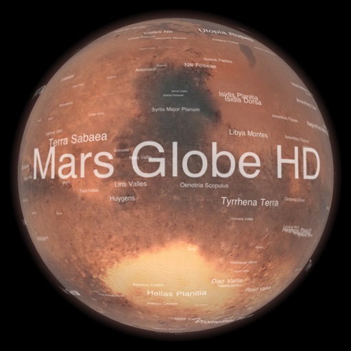
Mars Globe HD
Michael Howard
Explore with satellite maps and topographic data
Explore with a high-resolution satellite map and topographic lighting. View over 1500 annotated surface features with detailed information and links. Navigate the virtual freely or follow a guided tour.


AIS Maps: Marine & Lake charts
Flytomap
View maps, navigate routes, track location
View detailed and with vector-based maps that remain clear at any zoom level. Pan, tilt, and rotate for an immersive experience. Purchase additional features within the for expanded functionality.

GPS & Maps: Location Tracker
Kraus und Karnath GbR 2Kit Consulting
Navigate with accurate position data
Track position, height, and acceleration with accuracy in feet, meters, miles, or kilometers. Log maximum altitude and speed. Display and save current or waypoints on a map. Choose coordinate formats for viewing.


Aqua Map Boating
GEC s.r.l.
Download charts, navigate offline, connect instruments
Navigate using weekly updated nautical charts from NOAA. Plan routes manually or automatically. Record GPS tracks and store navigation data including markers and routes. Share data with others. Display tides and currents.

Geo Touch: Learn Geography
Miaplaza Inc.
With interactive maps
The shape and location of US states and landmarks for free. Purchase additional maps for countries in the Americas and Europe. Test knowledge with quizzes and games. Track progress and review facts repeatedly.

Grid Ref UTM
Michael Irving
Pinpoint location with UTM ref
Determine UTM references, hemisphere, and WGS84 coordinates. Display device accuracy readings. Share location via Twitter. Includes USA UTM zone guide.

Go Map!!
Bryce Cogswell
Create and edit OpenStreetMap data.
The app allows users to create and edit information in OpenStreetMap. Users can add points of interest, streets, paths, buildings, and bodies of water, with full undo/redo support and offline capabilities.


GPS Speedometer: Speed Tracker
Mikhail Nikitsin
Track , time, and distance
Displays real-time , time, distance, and trip statistics. Track average and maximum , moving and stopped time. Save aggregated trip data for future reference.

MilGPS
Cascode Labs Pty Ltd
Navigate with MGRS coordinates and waypoints
Display current location and customizable info on large text screens. Create waypoints using location, crosshairs, or coordinates. Organize waypoints into overlays and navigate to them with arrows or maps. Track movement and view location details.

United States Map Quiz
Peaceful Pencil Ltd., The
Learn , capitals, and flags by tapping,
Learn U.S. , capitals, and flags through interactive map exploration. Scroll, zoom, and tap to identify locations, capitals, and flags. Track progress with a star system. Access regions like the West and Midwest for focused learning.
How we rank alternatives
Apps are ranked by functional similarity, category fit, rating confidence, and popularity.