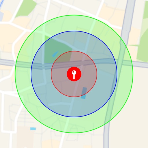
Receive location data via email and map it automatically. Visualize GPS coordinates with a radius overlay. Get notifications for location updates. Share mapped locations with others. Set custom radius sizes and track movement patterns.
by Badge Apps LLC★ 4.611 ratingsUtilitiesFreeData updated 2026-09-22
Distances between points or calculate area of locations. Draw paths on maps or tap to add points. Record movement automatically while walking, running, or cycling. Save measurements for later review.
Find latitude and longitude coordinates of your current location in decimal degrees and degrees-minutes-seconds. Tap coordinates to copy to clipboard. Save coordinates with a custom name. Share coordinates via email or messaging.
The app tracks coordinates, speed, and heading for physical movement and navigation. It also monitors solar cycles, providing data for wellness timing and outdoor activity planning.
Monitor and manage fleet equipment remotely. Track location, engine performance, and maintenance needs. Set alerts for unauthorized use or theft. View operator efficiency data and ownership cost analysis.
Track vehicle location using GPS. Monitor driving behavior and trips with visual reports. Receive alerts for vehicle status and safety notifications. Locate the car remotely from any location. View trip details and driving patterns.
Visualize around map pins to compare distances. Set up to three per pin. Search locations and check nearby points of interest. Switch between standard and satellite map views. Automatically save pins for future reference.
Track prices in real time with updates and chart data. Set custom alerts that notify via push notifications and appear on the home screen. View historical trends and receive instant updates on changes.
Create interactive 3D models of spaces using LiDAR scanning. Detect objects and generate spatial coordinates. Measure distances, share maps, and plan layouts or design projects within the mapped environment.
Calculate angles, solve triangles, and compute trigonometric
Calculate angles, side lengths, and hypotenuse of triangles. Determine arc radius, arc length, chord length, and chord height. Solve trigonometric problems with precise formulas and tools. Input measurements to get accurate geometric results.
Display current direction, altitude, latitude, and longitude. Show real-time barometric pressure and movement speed. Track geographic location. Switch between "Classic" and "Sunset" visual themes with premium color schemes.
Create and manage map radiuses with customizable center coordinates, , and color settings. Share URLs via email or text to display radiuses in any browser. Include names, notes, and choose from multiple coordinate and distance formats.
The app plots areas on a map by adding landmark points or dropping pins. It calculates enclosed area and distances between points, with options to add interest points and photos.
Track and manage forestry data with parcel ownership layers and tax records. View cruising plot allocations and collect data offline. Register new accounts and access secured data. Sync with the website using the same account.
Explore The Legend of Zelda: Tears of the Kingdom with a game map and guide. Filter and mark points of interest or items on the map. Browse photos in sequence and view detailed armor information. Sync progress in real time across devices via iCloud.
The app offers real-time flight status updates and airport environmental information. It also includes international weather, time zone data, currency conversion, and travel phrases, with Bluetooth-enabled location notifications.
Set alarms using Siri Shortcuts or voice commands. Choose alarm type based on position, bearing, distance, or coordinates. Access widgets on iOS14 Home Screen. Switch between day and night themes and metric or imperial units.