Questions, track progress, and review explanations
For FAA and PPL or LAPL exams with question banks, explanations, and digital books. Track progress and practice on mobile. Covers aviation weather, aircraft systems, aerodynamics, and air law.
Calculate sunrise, sunset, moonrise, and moonset times for your location. Track solar noon, day length, and equation of time. View declination, twilight phases, and azimuth angles. Monitor seasonal dates, solstices, and equinoxes.
Plan and manage flights with auto-routing and real-time data. Sync flight details between devices. View weather, airspace, and airport information. Log flight details and track progress. Share flight plans with others.
View real-time radar and satellite imagery for tracking. Access color-coded alerts by severity. Use GPS for location-based forecasts. See road conditions with the Road Index. Display maps in vertical or horizontal format with looping.
Access a database of airports, airlines, spacecraft, and related entities with instant search and country flags. View manufacturer and airline tail logos.
Track current speed and direction from nearby locations. View real-time data from Tempest Systems and government sources. Access nearcast forecasts and historical reports. Set location-based alerts for changes. Share updates with others.
Monitor real-time GPS accuracy and switch between latitude/longitude and DMS formats. Copy with one tap. Toggle between metric, imperial, and nautical units. View location data quickly with a simple, reliable interface.
Connect with drivers and owner operators for bulk logistics jobs across North America. Schedule your hitch, start your shift, and track job details. Receive real-time updates and communicate with dispatchers.
Displays altitude, coordinates, and speed with options for metric or imperial units. Shows accuracy and warns about signal issues. Offers aircraft mode with in feet. Compares current altitude with known values. No ads or data collection.
Determine using GPS, barometer, or location input. View data on interactive maps. Access real-time altitude readings. Compare changes across locations. Save and share measurements.
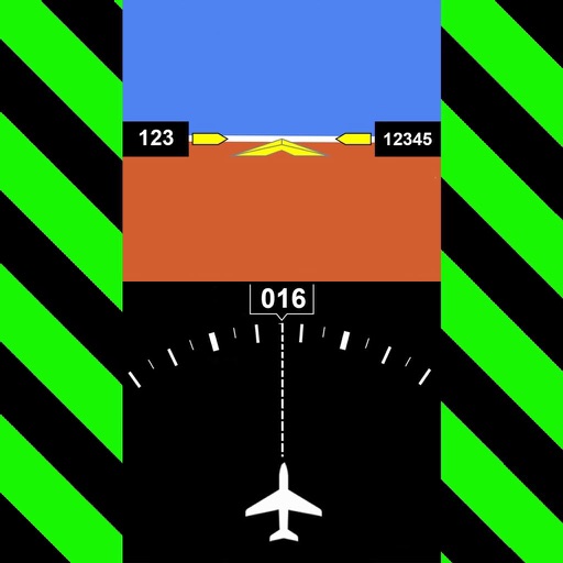
Navigation provides real-time positioning using iPhone/iPad sensors. Displays maps and routes. Offers -and- interface. Uses digital filtering and stochastic models for accuracy. Only functions in airplanes.
Check flight rules and airspace restrictions in the U.S. and Australia. View compliance maps from aviation authorities. Plan flights using Google Maps. Access controlled airspace with LAANC. Set flight locations and receive real-time updates.
Add accurate date, time, and GPS watermark to photos and videos. Sync with network time for real-time stamps. Edit watermarks manually. Share files with location data preserved.
Access real-time data including METAR, TAF, and NOTAM reports for 50,000+ airports. View satellite maps and decoded information. Filter nearby airports by runway length and METAR/VFR availability. Save favorites and organize into groups.
View VATSIM network data including pilots, controllers, and airports. Track users and friends. Display flight routes and weather information. Access event details and member certificates. Support dark mode with no ads.