Converts speech to text and vice versa with high accuracy. documents and emails using context analysis. Use live camera translation for menus and signs. Share translated text and audio.
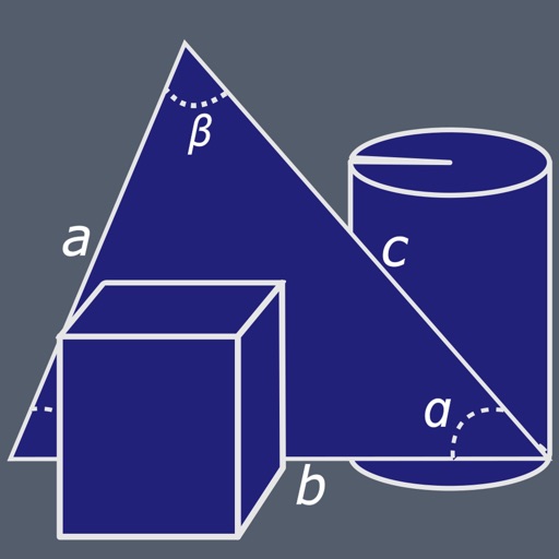
Create and manipulate geometric shapes such as points, lines, angles, and conic sections. Adjust properties and calculate metrics. Display shapes on a zoomable coordinate system. Construct medians, altitudes, and bisectors.
Edit videos by trimming, rotating, scaling, and flipping clips. Select frames and overlays to enhance visuals. Export full-size videos for Instagram and other platforms. Adjust orientation to match social media requirements.
Arc+ calculates radius, length, width, height, and tangent by inputting two known values. Converts between measurement units. Saves results to a favorites list and shares them with others.
Optimize material usage with four layout options. Calculate efficient patterns for sheets. Import designs and adjust parameters. Export for production. Support multiple material types and panel sizes.
Customize home screen with widgets. Add static photos or auto-refreshing albums. Arrange multiple widgets in unique layouts. Use stack feature to swipe through layered widgets.
Perform duct design calculations for rectangular, round, and flat oval shapes. Input dimensions and system parameters for accurate sizing. Verify calculations in real-time during field work. Sync with ASHRAE standards for reliable results.
Create collages by combining multiple photos into layouts. Choose from 50+ grid styles and tree or 3D modes. Edit photos with cropping, filters, and text addition. Share finished collages directly.
Allows users to adjust button positions and view formulas and calculation . It aggregates results and enables sharing of calculations and with other apps and social media. Users can copy results and to the clipboard for easy access.
Calculate dimensions for right, oblique, or truncated cones. Input base radius, height, and angle to generate measurements. Export dimensions for sheet metal fabrication.
Precision navigation allows users to create and follow accurate lines using GPS. Adjust row spacing and avoid overlaps. Track boundaries and manage multiple plots. Export maps and integrate with farm management systems.