Set location during or after installation using distance and bearing. Define allowed area as a circle or custom shape with angles and distances. Monitor movement and receive alerts when boundaries are exceeded.
by IdeaBoys GmbH★ 4.83,566 ratingsUtilitiesFreeData updated 2026-09-16
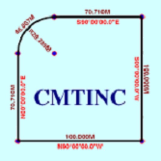
The app converts real property descriptions into boundary maps. Users enter angles and distances to draw property boundaries, displaying closure error, total area, and perimeter.
The app monitors vehicle speed and alerts users when surpassing a set speed limit. It displays current speed in km/h or mph and changes background color based on speed.
The app tracks coordinates, speed, and heading for physical movement and navigation. It also monitors solar cycles, providing data for wellness timing and outdoor activity planning.