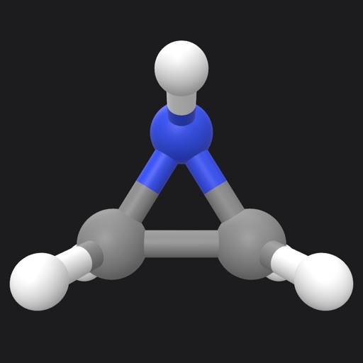
Visualize molecules and proteins using . Place 3D models in real-world environments without markers. Access structures from PubChem and Protein Data Bank. Draw chemical formulas and view them in AR.
Track routes, find waypoints, and navigate offline
Navigate outdoors with offline GPS maps and real-time augmented reality. Track waypoints and custom locations. Use a gyrocompass, speedometer, altimeter, and inclinometer. Find celestial bodies and measure angles.
View and convert geographic across multiple formats and datums. Manage locations with an intuitive interface. Display current location at the intersection of two grey lines. Export in various global systems.
View high-definition 3D globe and latest satellite imagery. Load map tile data for detailed terrain and urban features. Use oriental compass for direction. Access historical street view for past locations. Measure area and distance on .
Explore properties using 3D visualization and detailed data cards. View terrain topography with contour lines. Identify and map properties with ease. Check fiber optic availability and groundwater details. Access property data with one tap.
Create and collaborate on detailed maps using satellite imagery and 3D terrain. Explore cities with 360° Street View. Add annotations and share maps with others. Navigate streets and view neighborhood details.
Explore seafloor topography using NOAA's high-resolution bathymetry data. View underwater features like reefs, ledges, and channels. Access maps offline without a subscription.
The app measures the elevation of locations within a 500-meter radius using device sensors and internet-based geo information. It calculates altitudes in real time and displays them in meter or feet.
Navigate with turn-by-turn directions for hikes and custom routes. Access topographic with contour lines and hill shading. Save hiking trails and routes for offline use. View detailed information about national park hikes.
Track the sun's position with hourly direction intervals and equinox paths. View sunrise and sunset times, twilight periods, and sun shadow. Add sun-event notifications. Display solar data via widget and 3D AR view.
Access data with parcel maps, satellite imagery, and detailed land information. View building details, sales history, and transfer records. Search and locate properties efficiently. Export and share data directly.
Find hunting units by state and species. Filter by draw odds, public land availability, and historical success rates. Navigate to locations with and trail data. Track progress and access expert insights to improve hunting outcomes.
Plan and execute backcountry trips with detailed topographic maps. Customize maps for specific activities. Download and compare maps for offline use. Combine overlays to adjust map views. Build routes with smart tools.
Allow users to explore locations without an internet connection. They include detailed global with millions of points of interest. Users can download for use and bookmark favorite locations. GPS tracking enables recording of travel routes.
View lunar phases and eclipse details with start and end times, maximum magnitude, and visibility. Use calendar, compass, map, and AR camera views to track the path and timing. Plan outdoor activities based on optimal light conditions.