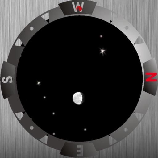
View lunar phases and eclipse details with start and end times, maximum magnitude, and visibility. Use calendar, compass, map, and AR camera views to track the path and timing. Plan outdoor activities based on optimal light conditions.
by Ajnaware Pty Ltd★ 4.8560 ratingsNavigation$3.99Data updated 2026-09-12
View the position through augmented reality. Explore 2D and 3D lunar path visualizations. Access detailed data tables showing phases, eclipses, supermoon dates, moonrise and moonset times, and age.
Track the sun's position with hourly direction intervals and equinox paths. View sunrise and sunset times, twilight periods, and sun shadow. Add sun-event notifications. Display solar data via widget and 3D AR view.
View tidal estimates, lunar data, and weather forecasts. Check current radar for real-time conditions. Select stations via map or favorites. Track changes over time with historical data. Share forecasts with others.
View phases for any date. Track moonrise and moonset times. Explore lunar data for specific locations. See eclipse dates, times, and visibility details. Follow the path across the sky.
Displays the sun and moon positions via AR and 2D/3D maps. Users can view and lunar paths, compass directions, and shadow projections. Tracks time of sunrise and sunset. Offers location-based data for planning and analysis.
The app offers a compass view with animated wind vectors, temperature, and humidity. It also includes an augmented reality 3-D view and a searchable map view for global weather station data.
Track sun and positions with augmented reality overlays. View past, present, and future positions and phases. Plan photo shoots, weddings, or solar panel installations based on accurate celestial data.
Track tides and lunar phases with NOAA data. Set custom alerts for high and low tides. View offline information. Access lunar calendar and historical data. Share details via social media. Sync with Apple Health for activity tracking.
Track sunrise, sunset, moonrise, and moonset times along with planetary positions and visibility. Use AR to trace the paths of the sun and moon. View their positions on maps and check astronomy weather data.
Track the sun's position using augmented reality. View 2D and 3D solar path maps with compass and shadow simulation. Adjust settings for accurate solar projections. Save and share solar data for planning and analysis.
Track routes, find waypoints, and navigate offline
Navigate outdoors with offline GPS maps and real-time augmented reality. Track waypoints and custom locations. Use a gyrocompass, speedometer, altimeter, and inclinometer. Find celestial bodies and measure angles.
Identify and name mountains and peaks using a 360° panorama view. Access offline maps with detailed peak information. View over one million mountain names and locations worldwide. Navigate without an internet connection.
View celestial positions including sun and moon overhead locations, daylight coverage, and moon phases. Track rise and set times, parallactic angle, and lunar liberations. Display day and night maps in an azimuthal projection.
Track sun and positions in real time using location data. View detailed information about phases, angles, and visibility. Set location manually or automatically. Save observations and share data.
CNT INTERAKTIF BILGI TEKNOLOJILERI YAZILIM SANAYI VE TICARET ANONIM SIRKETI
Find direction offline
Find direction without an internet connection. Displays accurate compass direction to Mecca worldwide. Shows Kaaba location with an arrow on the map. Adjust prayer direction before starting prayer. Syncs with device compass for real-time updates.
Navigate using true north calibration. View latitude and longitude coordinates. Access location and elevation data. Display compass direction and geographic position.
’n detects blood trails using machine vision and color-isolation technology. Users receive alerts and can map blood trails. The includes land ownership for tracking game. Features include blood detection, mapping, and land ownership information.