Measure angles on photos or in real time using the camera. Adjust and compare multiple angles simultaneously. Scale, move, and change color of measurement tools for accurate readings. Save and review measurements permanently.
by ALEXEY KOZLOV★ 4.4359 ratingsUtilitiesFreeData updated 2026-09-15
Create line segments and polygons by stretching bands around the Geoboard. Explore perimeter, area, angles, and fractions through interactive shapes. Manipulate bands to compare sizes and test congruence.
The app offers over 30 game levels covering number sense, place value, fractions, decimals, and geometry. It includes a learning analytic dashboard and adaptive learning technology to track progress and improve outcomes.
Convert PDF drawings into editable documents with smart line detection. Measure distances and angles precisely. Export annotations and share files directly. Sync with cloud storage and view layered drawings.
Measure vibrations using phone sensors to detect seismic activity or body tremors. Display readings on the modified Mercalli intensity scale. Calibrate the to set maximum values between 10-11. Provide reference comparisons for earthquake vibrations.
Measure spectrum to determine dominant in nanometers, frequency in terahertz, and period length in femtoseconds. Analyze sources to identify primary color wavelengths and associated properties.
The app plots lines, planes, and small circles on stereonets. It can also display data in 3D, on maps, and perform operations like rotations and statistical analyses.
The app allows students to explore geometry and fractions by creating designs or filling outlines with shapes. It provides tools for measuring angles, duplicating shapes, and annotating work to demonstrate understanding.
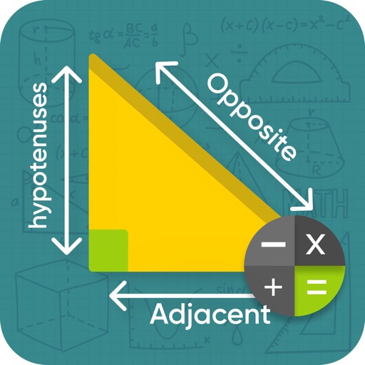
Solve right-angled problems by entering known values. Calculate missing sides using the Pythagorean theorem or unknown angles with trigonometry. Provide step-by-step explanations for each solution.
Calculate standard deviation, probable error, and error of the mean for surveying and civil measurements. Switch between imperial and metric units. Perform calculations for series of observations and single or combined accidental errors.
Compare geographic features by selecting them on a map or using the "GO TO" button. Move the selected shape to a new location and fix its position to visualize size and shape differences.