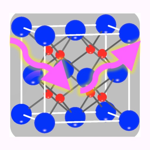
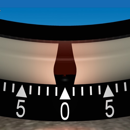
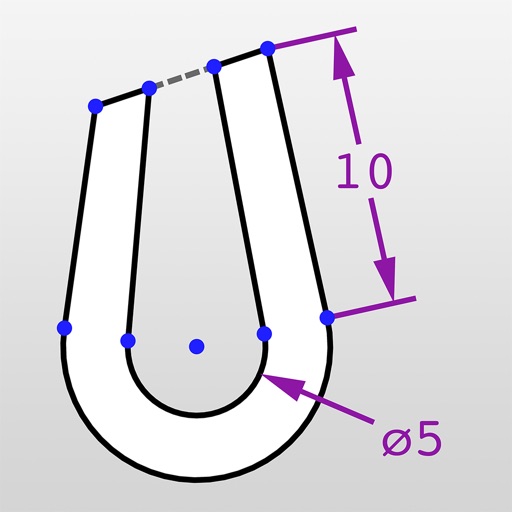
The app functions as a geological compass for geologists, measuring dip direction and angle of geological strata. It displays real-time device orientation in a stereographic projection and allows data transfer to a computer.
Solve math problems with capabilities. Input equations, view function graphs, and analyze statistical data. Perform calculations in algebra, calculus, and statistics. Navigate using arrow keys or touch gestures.
Allows users to take photos of math problems and receive step-by-step solutions. It can plot graphs of equations. Users can chat with an AI tutor for homework and assignment .
Calculate land using GPS coordinates. Draw shapes on maps to fields or plots. Add GPS stamps to photos with location, time, weather, and compass data. View live maps and magnetic information.
Distances, perimeters, and areas using GPS. Place markers on or objects. Share results with colleagues. Calculate quantities like spray or fertilizer needed. Export measurements for record-keeping.
The app records stream study data for education or research. It includes information on water quality indicators and aquatic macroinvertebrates with identification resources.
Measures roadway curve angles in degrees. Calculates combined effects of superelevation, vehicle roll, and lateral acceleration. Provides advisory speed recommendations for horizontal curves. Syncs with devices for data storage and analysis.
Connect to servers in 80+ countries to bypass restrictions and protect online data. Browse securely with no speed or time limits. Access content regionally and maintain privacy without cost.
Calculator helps users compute offsets and rolling offsets for precise layout planning. Input measurements to calculate basic or advanced rolling angles. Generate detailed reports and save calculations for future reference.
Collect GPS coordinates as KML Placemarks with location, name, comment, and color. View coordinates in decimal, DMS, and UTM formats. Import and export data as KML files via email. Add Placemarks by tapping "+". Record locations automatically.
Record orientation data of planar and linear features using GPS and orientation sensors. Measure bearings and inclinations. Save and export data for analysis. Sync with devices for fieldwork efficiency.