Plan routes to popular landmarks like the Reichstag building and Brandenburg Gate. View and S-Bahn maps. Use a journey planner with offline functionality. Get estimated travel times and step-by-step directions.
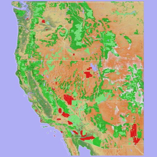
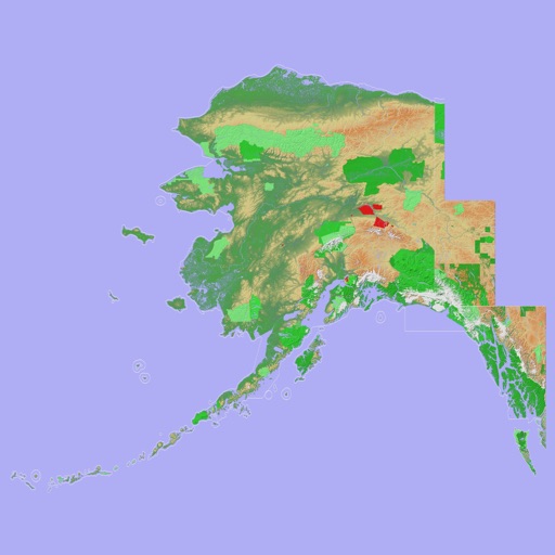
Navigate using a 3D topographic map of the USA and Hawaii. Access offline vector maps for navigation in vehicles or outdoors. Switch to online maps for global coverage with automatic caching. Explore locations with zoom and scroll features.
Track real-time conditions for coastal and water-based activities. View wave heights, wind speeds, and tide schedules. Receive alerts for storms and hazardous . Share current conditions with others.
Uses the official TfL London Underground map design. Includes Night and Rail Network views. Features a geographical bonus map. Provides live travel updates and a journey planner. Allows users to plan routes and view service status.
View 3D topographic maps of offline with vector data. Navigate by car, boat, plane, or on foot. Access worldwide satellite maps online with automatic caching. Toggle between map types and zoom to any location.
Plan trips to parks by downloading , brochures, and newspapers. Explore 80+ parks, 500+ campgrounds, 2,600+ trails, and 73,000+ points of interest. Access 60+ folded from federal and state agencies. Navigate without WiFi in wilderness areas.
Create detailed interior maps for large spaces like malls, schools, and hospitals. Navigate indoor areas with real-time directions. Locate items quickly using step-by-step guidance. Sync with building layouts for accurate positioning.
Navigate using a 3D topographic map of the USA with offline access. View vector map data without internet. Use in vehicles or during hikes. Switch to global online maps with automatic caching for areas without coverage.
Access real-time train and bus arrival predictions for all stations and stops. View next train and next bus times with automatic updates. Use location-based features to find nearby transit options.
Navigate with a 3D topographic map of the USA. View detailed terrain and vector data offline. Use in vehicles or during outdoor activities. Access global maps online with automatic caching for offline use.
Plan trips to with AI-generated itineraries and offline GPS maps. Access expert-written guides and real-time alerts for trail, road, and weather conditions. Log hikes and track progress. Sync with Apple Health.