
Apps Like TrailMap - Custom Map Overlays for iPhone and iPad
TrailMap - Custom Map Overlays screenshots
Ranked alternatives
Showing 61–80 of 1,000 ranked alternatives.

GPX viewer - map
Lucas den Otter
Route on map with GPX files
Import GPX files to view and follow routes on maps. Navigate trails, tracks, and paths with turn-by-turn directions. Save and share custom routes. Adjust map settings for different terrain types. Sync with fitness devices for real-time tracking.


Istanbul Rail Map Lite
Ansgar Vollmer Und Till Knorr
Plan routes, view maps, and track transfers
Navigate public transport with detailed and subway maps. Find routes offline without internet. Plan trips by viewing fastest paths and transfer points. Access station listings for quick navigation.


Live Transit
Squideye, Inc.
Track buses, view routes, explore stops
Track buses in real time with updates on a map. Tap buses to view their routes and current locations. Access detailed route information and schedules. Plan trips using the city's public transportation network.


Camino Map : French way
Raysoft.co
Find albergues and track your route
View maps offline without requiring a data connection. Access fast map rendering for smooth navigation. Locate Albergue, Coffee Shops, and Restaurants on the map. Share stories, information, and opinions on an open bulletin board.


@Mirror Plus
Evolutive Apps S.L.
Check your look with digital zoom
Use the front camera as a pocket mirror with digital zoom. Adjust brightness for low-light use. Apply makeup and style hair with real-time preview. Take close-up views of small details.


Cell Tower Locator & Map
Infinitefy OU
Locate towers and map coverage
Locate nearby towers on a map with visual markers. Tap towers to view details about their signal strength and carrier. Use the map to find optimal signal areas and improve connection quality.

Save Location : GPS Map
MadhavKumar Bhayani
Locations and recall them anytime
And share precise details with exact coordinates. Store locations with associated dates. Retrieve saved locations to navigate back easily. View history and access saved addresses for future reference.

Lake County PASSAGE
Lake County, IL
Real-time traffic congestion information for Lake County.
The app provides motorists with real-time traffic congestion information for Lake County, IL. It includes incident and roadwork information, intersection snapshots, and the ability for users to report incidents.
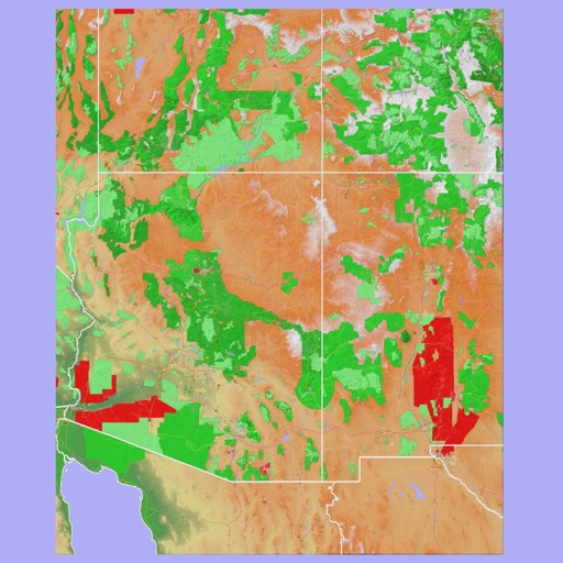
Scenic Map Grand Canyon
Mark Granger
Explore landscapes in three dimensions.
The app provides 3D topographic maps for iPad and iPhone. Vector map data is contained within the app for offline use, supporting navigation in various environments.


Madrid Metro - Map and Routes
Mapway Inc.
Navigate Madrid Metro transit simply.
The app provides navigation for Madrid Metro transit. It offers interactive maps for journey planning and displays routes.

onX Fish: GPS Fishing Maps
onXmaps, Inc.
Find lakes, view details, navigate to locations
Access GPS navigation and land ownership data for fishing. Locate lakes with detailed fisheries information. View satellite imagery and apply filters for ice fishing. Find trails, access points, and land ownership details.

Michigan Offroad Trail Map
Brendan Kirchner
Northern Michigan's Offroad Trail Guide
The app provides a guide to Northern Michigan's 4x4 and snowmobile trails. Trail data is stored on the device, allowing users to view trail and current locations even without cell coverage.
How we rank alternatives
Apps are ranked by functional similarity, category fit, rating confidence, and popularity.