Track mountain hikes with in- GPS, recording vertical gain and current elevation. Browse, search, and filter 600,000 peaks across 50 map layers, including topo and satellite views. Save hikes, collect peaks, and share progress with others.
Check GPS and altitude of your current location. Tap to copy for pasting elsewhere. View current and saved locations in Maps. Share location via SMS or button. Bookmark current location with a name and access saved bookmarks with visit history.
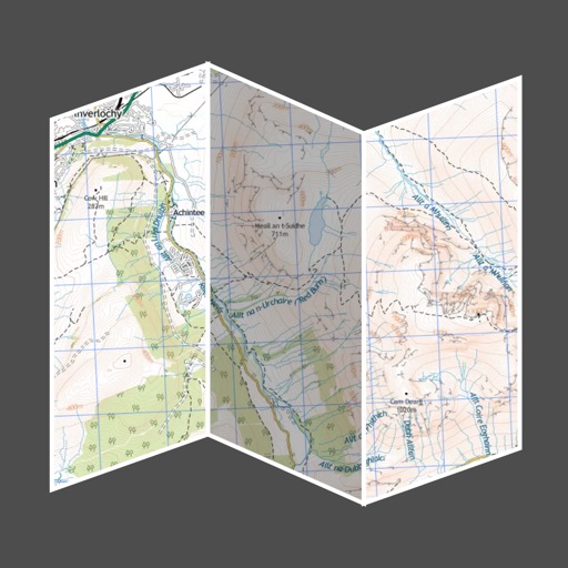
Navigate using high-resolution topographic for the U.S., Canada, Australia, and European countries. Download or print for offline use. Track routes with GPS and view elevation details. Access satellite , nautical charts, and OpenStreetMaps.
Plan and navigate flights with interactive aviation maps featuring high-resolution worldwide coverage and offline support. Track real-time GPS positions with moving maps.
Helps users locate stores in Japan. Search for businesses by category or name. View maps with brand logos for quick identification. Save locations and get directions. Filter results by distance or preferences. Share store details with others.
The app provides offline topographic map coverage of New Zealand's North Island. It includes satellite images, elevation data, and integrated information on land boundaries and trails.
The app displays user position using GPS to help follow approved trails in Galicia. Users can search trails by list or map, with details on length, estimated time, and difficulty.
The app provides access to topographic maps, aerial photos, and cadastral parcels for Luxemburg. Users can search for places, choose from over 100 data layers, and share maps.
Provide detailed trail information including route names, difficulty levels, and elevation gains. Display precise topographic maps with avalanche terrain exposure ratings. Navigate through Chic-Chocs and areas.
The app displays maps and aerial photographs of Tokyo and Yokohama across different historical periods. Users can explore city transitions from the Meiji era to the present day, juxtaposing old maps with current views.
Generate QR codes from text, URLs, contacts, and locations. Share via camera or email. No personal data is stored or transmitted. Scan QR codes to access links, contacts, or map locations.
Plan trips to parks with downloadable and guides. Access 70+ parks, state parks, monuments, and forests. View 200+ from national agencies. Use motor vehicle use and OHV . Find camping locations and trail details.
Find prayer times and Qibla direction while flying or during daily use. Set locations using an offline map. Receive notifications for prayer times. Adjust settings for different prayer times and locations. Share prayer times with others.