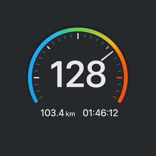
GPS tracks current speed, distance, and altitude. Displays average and maximum speed. Shows speed limits in real time. Supports mph, km/h, and knots. Measures travel time and battery level. Works offline.
by Unicom TOV★ 4.54,176 ratingsNavigationFreeData updated 2026-09-13
Measure sound volume in real time with a meter. Display current sound level with a main indicator and digital dB value. Provide explanations for sound levels. Allow calibration of microphone settings.
Calculate wind components, temperatures, altitudes, and airspeeds. Input runway number, wind direction, and speed. Determine headwind, tailwind, and crosswind values. Adjust for parallel runways based on magnetic heading.
Measure levels in your surroundings with real-time readings. Display minimum, average, and maximum values. Show current noise reference and detailed data. Visualize levels through a graph for better understanding.
Monitor vehicle speed, battery level, and driving range in real time. Display navigation directions and media controls on the phone screen. Adjust dashboard layout and settings. Sync with the transmitter for accurate data.
The app emulates a functional timer device displaying present, last departed, and destination times. Users can set a destination time and receive an electronic alarm sound.
Displays real-time CPU and memory usage. Shows battery level and charging status. Provides live sensor data including accelerometer, gyroscope, and barometer. Displays location with accuracy and altitude. Shows Bluetooth LE advertisement details.
Track in real time using device sensors. View current in miles per hour. Set limits and receive alerts when exceeded. Log trips and review history. Share data via email or social media. Calibrate sensor for accurate readings.
Navigate using a GPS to any saved location. Save current position, input coordinates manually, or extract GPS from photos. View saved points history and export coordinates to Google or Apple Maps.
Record location data including latitude, longitude, altitude, speed, and distance. Save logs in CSV, KML, GPX, TCX, FITLOG, and NMEA formats. Use Apple or Google maps. Enable background logging. Share files via AirDrop. Upload to iCloud Drive.
This displays directions in Japanese or English with a single tap. It shows 16 directional points, precise angles in degrees, and supports switching between cardinal names and abbreviations.
Reader tool allows users to read and listen to books. Ruler tool measures length, breadth, and height of objects. Protractor tool measures angles of objects. Slope tool calculates the incline of structures. Activity track daily tasks and progress.