

Apps Like MyUSNG for iPhone and iPad
MyUSNG screenshots
Ranked alternatives
Showing 121–140 of 1,000 ranked alternatives.


AuGeo
Esri Online LLC
Import data and view in AR
Convert ArcGIS point feature layers into augmented reality scenes. Import and visualize spatial data in real-world environments. Adjust layer properties and view 3D representations. Share AR scenes with others for collaboration.



Electronic Signature
Kazuya Fujita
Sign with your hand, save as image,
Create a by handwriting with customizable color and pen thickness. Choose from different pen and eraser tools. Undo or redo actions. Save the as an image or copy it to the clipboard. Scale display is available.

InspireMe - Word Generator
Mapnitude Company Limited
Generate random words for creative ideas
Generate three random words to spark creative ideas. Tap words to replace them or tap "Random" for new ones. Copy or share words to use elsewhere or involve others in brainstorming.




SkewTLogPro
Chad Sandstedt
Access powerful skew-t log-p charts.
The app displays skew-t log-p charts with temperature, dew point, and winds aloft. It shows current radar, Airmets, Sigmets, and SkewT data filtered by altitude.


Weather - Accurate Weather App
KuXun Technology Co., Ltd.
Check radar, track , get alerts
View current conditions, real-time temperature, and hourly forecasts. Check storm, rainfall, snow, humidity, pressure, wind force, and direction. Access 10-day forecasts and severe alerts.

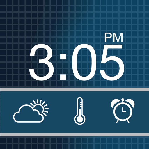
ClockIT-Alarm & Weather Clock
Creo IT Pvt Ltd
Functional and elegant nightstand alarm clock.
The app transforms a device into a nightstand alarm clock with custom themes and music alarms. It displays weather conditions with custom icons and offers a snooze feature with a countdown.

SC Works Mobile
South Carolina Department of Employment & Workforce
Find jobs in South Carolina easily.
The app provides access to job openings found on nearly 16,000 websites. Users can search by keyword and location, viewing results in a list or on a map.

GeoViewer from Extensis
Eshaan Enterprises LLC
View imagery on the go.
The app displays MrSID and JPEG 2000 imagery, along with vector formats like Esri Shapefile and KML. Users can connect to Dropbox, view online base maps, save locations, adjust layer opacity, and select image bands for multispectral images.

How we rank alternatives
Apps are ranked by functional similarity, category fit, rating confidence, and popularity.