
iPhone Screenshots
Description
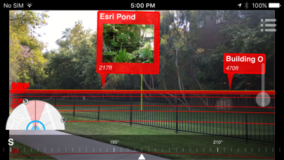
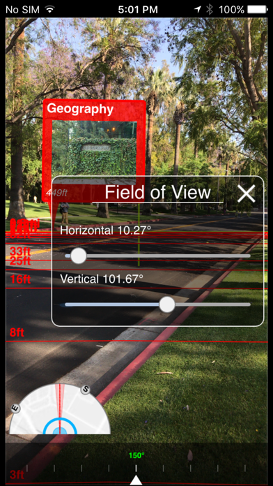
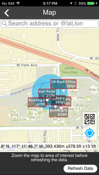
Convert ArcGIS point feature layers into augmented reality scenes. Import and visualize spatial data in real-world environments. Adjust layer properties and view 3D representations. Share AR scenes with others for collaboration.
The AuGeo mobile app allows ArcGIS users to easily bring data from their exiting ArcGIS point feature layers into an augmented reality environment. Preparing your existing data for use within AuGeo is described in this tutorial: http://links.esri.com/esrilabs/augeo/tutorial