Determine flight path relative to objects by positioning the sight target on cloud tops, mountain passes, or other aircraft. Receive visual indication of whether the object is higher or lower and the degree difference.
by Timothy Kelley★ 5.02 ratingsNavigation$1.99Data updated 2026-09-13
Plan flights with detailed route mapping, weather data, and fuel calculations. Access real-time weather briefings and interactive charts. Log flight details and manage preflight checklists. Sync with avionics for consistent navigation.
Access real-time data including METAR, TAF, and NOTAM reports for 50,000+ airports. View satellite maps and decoded information. Filter nearby airports by runway length and METAR/VFR availability. Save favorites and organize into groups.
Calculate groundspeed, true heading, compass heading, leg time, distance, fuel required, fuel flow, and endurance for flight planning. Convert airspeed, altitude, and temperature.
Stay connected globally with for aviation professionals. Access data in nearly every country without contracts or roaming fees. Pay for data as needed and share it across devices. Invite colleagues to receive free data.
Plan flights with detailed weather data, airport information, and NOTAMs. Overlay georeferenced charts on aviation maps. Access IFR and VFR plates for over 200 countries. Manage and download airport plates in advance.
GPS UTM displays precise UTM grid references with 1 metre, 10 metre, and 100 metre formats. Locate position on topographic maps using global datums like ED50. Share coordinates with other apps or users.
Displays current speed, longitudinal and transverse slope, and ascent/descent percentages. Switch between normal and HUD modes for windscreen reflection. Verify vehicle speed during cycling, running, flying, or sailing.
Manage trip details with real-time flight updates and exclusive offers. Check in for flights and receive boarding passes instantly. Track baggage location and monitor flight status. Personalize trips with seat selection and booking changes.
Plan flights with route mapping, fuel calculations, and weather data. Track aircraft in real time. Access offline maps and charts. Set flight parameters and monitor navigation. Share flight data with other .
The app displays up to six chosen locations simultaneously. Users can view the direction and distance to each selected place on a compass and check their coordinates.
The app displays aviation weather observations and forecasts using a maps-based interface. Users can view METARs and TAFs in coded or translated formats, with color-coded pins indicating forecast or observation availability.
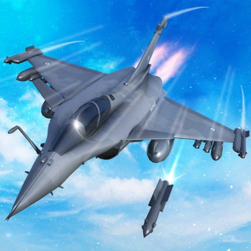
Train pilots for air combat missions. Customize jets with upgrades. Manage squad formations and tactics. Execute airstrikes on enemy positions. Track progress through mission-based challenges. Unlock new aircraft and weapons.
Pilots can retrieve information by defining departure and destination airports. Apply filters to narrow results. View NOTAMs in text format or on an interactive map. Translate NOTAMs into multiple languages.
Track status and schedules with real-time updates. View departure and arrival times, gate information, and delays. Receive notifications for changes. Share details with contacts. Sync with Apple Health for travel logs.
Track aircraft positions in real-time using ADS-B data. View live paths, altitudes, and speeds. Search for specific planes by identifier. Receive alerts for nearby flights and airspace changes.