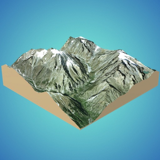
Create 3D models from online sources like Bing Maps or local cloud points. Export data as CSV, TXT, STL, or OBJ. Modify models by cutting, scaling, and animating. Calculate surface areas and volumes in real-world units.
Navigate locations with turn-by-turn directions and map views. Search for points of interest and save favorite spots. Share routes with others and receive real-time location updates. Track progress and explore nearby landmarks.
Monitor real-time location and environmental data for marine activities. Receive smart alerts for safety risks. Access offline maps and navigation tools. Record and retrieve black box data for incident review.