Measure and areas by drawing paths or closing loops. Switch between metric and imperial units. Undo drawings as needed. View standard or satellite maps. Export measurements as KML files for use in Google Earth and other mapping apps.
by Emidio Cunha★ 4.536 ratingsNavigationFreeData updated 2026-09-12
Tracks daily intake with support for Imperial and Metric units. Sets personalized hydration goals based on user data. Sends daily reminders and pauses notifications during sleep. Logs statistics for progress tracking.
Calculate requirements for concrete slabs by entering dimensions, spacing, and edge distances. Determine layout and quantities needed. Switch between imperial and metric units. Export results via text or email.
Perform complex calculations with scientific, engineering, and hexadecimal modes. Use RPN and multi-line display. Convert units and access constants. Undo and redo actions. Sync with Apple Watch for on-the-go calculations.
Measure distances using augmented reality by pointing the camera at objects. Display measurements between selected points. Use an on-screen to measure objects placed on the phone surface. Set and track measurement targets.
Convert lengths between metric and imperial units. Switch between meters, centimeters, inches, and feet. Input values manually or via voice. Save frequently used conversions. Share results via copy or email.
Calculate standard deviation, probable error, and error of the mean for surveying and civil measurements. Switch between imperial and metric units. Perform calculations for series of observations and single or combined accidental errors.
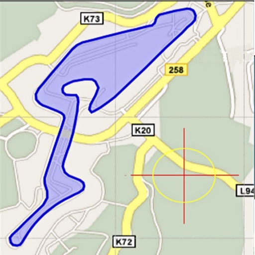
Area, lengths, and angles on maps using an interactive crosshair. Trace outlines to create connected points, updating area and perimeter in real time. Adjust radius for scaling features. View dynamic length and angle as you move the crosshair.
Measure horizontal floor areas in square feet or meters. Calculate vertical wall areas in square feet or meters. Determine lengths between two points. Place virtual furniture to assess space size.
Navigate off-road trails and remote areas with maps and turn-by-turn directions. Mark waypoints, track routes, and view elevation data. Access terrain details and compass navigation without internet connectivity.
Measure distances, perimeters, and areas by placing pins on a map. Calculate dimensions and save measurements. Share results via email or export as a file. Sync with other devices for collaborative projects.
The app converts between units in categories like length, temperature, and weight. It provides access to previous conversions through a history list with colored categories.
Perform calculations with a standard featuring extra-large buttons and functions like delete, x², √, and %. Use a scientific with 30 advanced functions. Convert units, calculate loans, and determine tips.
Distances and angles using augmented reality and on-screen rulers. Tap to mark points and calculate lengths. Export measurements as text or image. Sync with other devices for collaborative projects.
Convert units between U.S. standard and metric systems. Calculate length, weight, volume, and temperature. Switch between imperial and metric measurements. Store frequently used conversions.
Sketch a floor using finger gestures on a smartphone or tablet. Assign measurements to each line for accurate scale representation. Visualize and document project details for planning purposes.