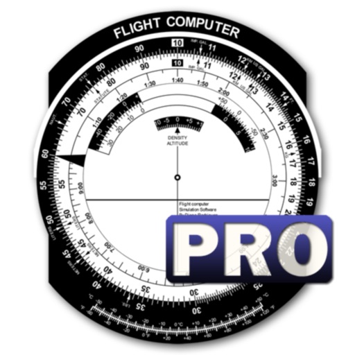
The app offers VFR and IFR pilots an affordable, capable, and usable electronic flight bag. It provides pilots with necessary information for safe flight, featuring an intuitive interface and pilot-focused support.
Listen to air control communications and view aircraft movements in real time. Switch between channels, receive real-time transcripts, and get alerts for emergencies or notable events.
Plan flights with detailed weather data, airport information, and NOTAMs. Overlay georeferenced charts on aviation maps. Access IFR and VFR plates for over 200 countries. Manage and download airport plates in advance.
Plan and navigate using an interactive moving map with aeronautical charts, satellite, or vector map backgrounds. View real-time flight data, track position, and adjust routes. Access up-to-date weather and airspace information.
Track flights in real time with interactive maps worldwide. View departure and arrival boards for airports. Monitor flights of friends or family. Receive alerts for status changes. Share data via social media.
Pilots can retrieve information by defining departure and destination airports. Apply filters to narrow results. View NOTAMs in text format or on an interactive map. Translate NOTAMs into multiple languages.
The app displays track, heading, distance, ground speed, time enroute, ETA, and fuel burn on one screen. It includes METAR and TAF weather access and 55,000 airports and navaids offline.
View decoded and TAF reports for local and global . Save favorite stations for quick access. Customize units in settings. Use map view to analyze flight along planned routes. Share data with other pilots.
View crew member photos, check gate and aircraft locations, and see reformatted CCS pages. Track break times and meal indicators. Access logbook and schedule details. Export or print schedules, sync with Apple Calendar.
This utility calculates average ISA temperature deviation for descent planning. It simplifies manual calculations, reduces workload, and minimizes potential errors for pilots using the FMC.
View real-time METAR and TAF data for airports, sea plane bases, and heliports. Search by name, ICAO, or IATA code. Display nearest, all, or favorite locations on an interactive map. Add or remove favorites. Track weather conditions and forecasts.
Check flight rules and airspace restrictions in the U.S. and Australia. View compliance maps from aviation authorities. Plan flights using Google Maps. Access controlled airspace with LAANC. Set flight locations and receive real-time updates.
Access real-time data including METAR, TAF, and NOTAM reports for 50,000+ airports. View satellite maps and decoded information. Filter nearby airports by runway length and METAR/VFR availability. Save favorites and organize into groups.
View live METARs and TAFs for saved airports. Check NOTAMs and D-ATIS data. Access status maps. Perform e6b calculations with visualized results. Use home screen widgets for quick data. Sync with Apple Watch for on-the-go updates.