

Apps Like AutoGPS for iPhone and iPad
AutoGPS screenshots
Ranked alternatives
Showing 21–40 of 1,000 ranked alternatives.

HoopStats Basketball Scoring
Michael Rarick
Track player and team stats
Track statistics for players and teams. Log , assists, rebounds, and turnovers. Compare team performance. Export data via email. Share statistics with coaches and fans. Sync game logs across devices.

Compass - Professional
Peter Bohl
Navigate with GPS and map overlays
Navigation allows users to view direction aligned with satellite imagery or maps. Displays street address, GPS coordinates, elevation, and What3Words codes. Taps switch between satellite and map views. Pinch or spread to zoom.


VPN Netherlands Circle
AdBeaver OU
Connect with IP and encrypt your traffic
Access state services using a IP address. Connect to European servers with dedicated IP support. Enjoy high-speed, reliably encrypted connections. Maintain stable performance for consistent access.

Speedometer km/h Odometer
SHIGETO TAKAGI
Track speed and distance with GPS
Displays speed in and distance traveled using GPS. Tracks maximum speed with vibration alerts. Shows position and time of maximum speed on a map. Switches between light and dark modes. Notifies of GPS measurement errors.



Lens eyes - Magnifier
建菲 黎
Zoom text for clear reading
Magnify text and images up to 16x for clear viewing. Zoom in and out by sliding or pinching. Move the function bar to adjust position. Read documents, menus, and printed materials easily.





Altimeter GPS & Barometer
Aesthetic Apps & Widgets srl
Offline altitude and location tracking.
The app provides altitude readings using GPS, Aster, or barometric data. It functions offline for wilderness adventures and includes features like a speedometer, step counter, and flashlight.


GPS Speedometer: Speed Tracker
Mikhail Nikitsin
Track , time, and distance
Displays real-time , time, distance, and trip statistics. Track average and maximum , moving and stopped time. Save aggregated trip data for future reference.
NavTutor
DID Software Inc.
Learn aircraft holding pattern entries visually.
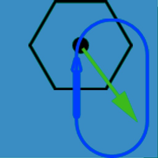
The app visually represents an aircraft and a holding pattern relative to a navigation aid. Users can learn to determine their position using ADF, VOR, and heading information, and identify correct entry patterns for standard and non-standard holds.

Where Am I At? - GPS Maps App
Flamethrower plc
Locate yourself with GPS precision
Display current coordinates, address, county, and altitude for exact location. Scroll the map to navigate and track surroundings. Open the to instantly view position details.

How we rank alternatives
Apps are ranked by functional similarity, category fit, rating confidence, and popularity.