
Map Tracks - gps logger
Christoffer Sjoeberg
Track speed, distance, and trips
Log trips with real-time speed, direction, and distance tracking. Store past journeys for review. Export trip data as GPX, KML, or GeoJSON for use in other applications.

Showing 101–120 of 1,000 ranked alternatives.
Christoffer Sjoeberg
Track speed, distance, and trips
Log trips with real-time speed, direction, and distance tracking. Store past journeys for review. Export trip data as GPX, KML, or GeoJSON for use in other applications.

Leo Mesentsev
Find and mark metal locations
Navigate using real-time GPS tracking and map overlays. Mark and save locations of finds. Share coordinates with other users. Set waypoints and measure distances between points. Adjust sensitivity settings for different terrains.

Mohamad Abdulaziz
Explore forests, lakes, and mountain peaks
Find scenic locations like forests, lakes, waterfalls, and mountain peaks. Explore activities including hiking, boating, and paragliding. Discover dining options such as breakfast spots, traditional Lebanese food, and view-based restaurants.


Memory-Map, Inc.
Navigate with offline maps and GPS
Turn your iPhone or iPad into an outdoor GPS or marine chart plotter. Use detailed Topo maps or NOAA marine charts for navigation. Access maps offline without a network connection. View GPS location without mobile signal.





Futurefleet Inc.
Bus routes and real-time tracking.
The app provides users with nearby bus routes and walking navigation to the nearest stops. It allows users to track bus locations in real-time and find transfer information, including operating times and routes.


Christoph Krey
The user's location companion app.
The app provides a private location diary for users. It allows users to share their location with family and friends.

Bundesamt fuer Landestopographie
Navigate with detailed Swiss maps
View detailed Swiss maps with scales from 1:10,000 to 1:1 million. Access current aerial images and historical maps. Explore hiking trails, mountains, and snow sports routes. Use offline without login or ads.

Ansgar Vollmer Und Till Knorr
New York City Rail Route Map
The app provides a route map for New York City's rail and subway system. It includes a route planner, station index, lines overview, and GPS support to find nearby stations.

Chimani, Inc.
Explore Maine's coastal islands virtually.
The app provides information about the Maine Island Trail, a water trail connecting over 200 islands and mainland sites. It offers details on publicly-owned islands, safety, tide charts, and launch sites for exploration.

Cambridge Mobile Telematics Inc.
Feedback for better driving habits
The app provides driving feedback to help users improve their driving. It automatically detects trips and uses phone sensors to measure driving dynamics, while employing low-power methods for battery conservation.

Syzygy Research & Technology Ltd.
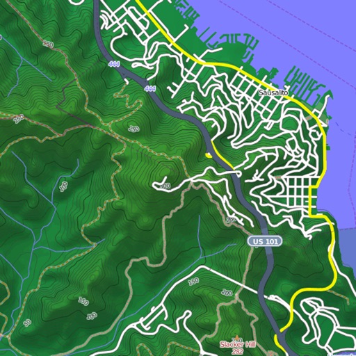
View maps, download trails, store routes
View and download detailed maps with topographical hillshading and contour lines. Store maps for offline use. Navigate using detailed terrain features. Find hiking trails, ski runs, and back streets.

Christian Inkster
Share via temporary weblink
Share real-time via temporary weblink. nd send links through apps, emails, or messages. Set expiration time for links. No data stored beyond specified timeframe. Requires GPS for accuracy.

Rajan Fernandez
Download , find huts, track trails
Access offline topographic of New Zealand. Download and manage to conserve storage. Locate DOC huts, campsites, and hunting areas. Search for named locations. Import GPX routes and share via AirDrop. Measure distances on .
Apps are ranked by functional similarity, category fit, rating confidence, and popularity.