Apps Like OpenMaps PRO Open Source Maps for iPhone and iPad
Explore routes and navigate trails
Navigate with topographic featuring elevation details and trail markers. View multiple map layers including satellite and terrain. Save and share custom routes. Get turn-by-turn directions and real-time location tracking.
by Immaginet Srl★ 1.01 ratingsNavigation$4.99Data updated 2026-09-06
Navigate using pedestrian and bike routes, even without an active iPhone location. Search for shops, restaurants, and other points of interest. Bookmark favorite locations for quick access. Customize color schemes between light and dark.
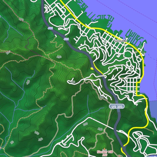
View and download detailed maps with topographical hillshading and contour lines. Store maps for offline use. Navigate using detailed terrain features. Find hiking trails, ski runs, and back streets.
Select and use maps from multiple vendors including OpenStreetMap, CityGuide, and national producers. Navigate offline with worldwide coverage. Access traffic info and regular updates. Set map preferences and manage subscriptions.
Draw on OpenStreetMap maps to create notes, diagrams, and annotations. Add lines, text, symbols, and illustrations. Scroll, zoom, and use multi-touch during drawing. Save and share your sketches directly.
View topographic of for hiking, camping, and outdoor activities. Choose between Base Map and Toporama sources. Download for offline use. Track location, elevation, and movement on the map.
Record GPS tracks of trips and analyze statistics. Share routes with friends. Use efficient background tracking to minimize battery drain. Supports Open Street Maps and Google Maps.
Track outdoor activities with stats, photos, videos, and maps. Log details for hiking, biking, skiing, kayaking, or road trips. Add descriptions and share adventures with others. Syncs with GPS devices and saves media directly.
Record workouts with heart rate, speed, elevation gain, and other metrics. Import and export GPX and FIT files. View offline with custom tiles. Overlay routes from GPX, FIT, KML, or GeoJSON files. Generate walking and cycling directions.
Turn your iPhone or iPad into an outdoor GPS or marine chart plotter. Use detailed Topo maps or NOAA marine charts for navigation. Access maps offline without a network connection. View GPS location without mobile signal.