Lets users measure distances and areas on maps. They can plot radius areas with specified centres and sizes. Share maps as images to show routes, areas, or radii. Adjust colors and export map views.
by GV Software Solutions Limited★ 4.09 ratingsUtilities$2.99Data updated 2026-09-10
Save current location and add new places on a map. Share locations with friends and calculate distances between them. View coordinates and track recorded routes for navigation without internet.
View and navigate topographic maps offline with full resolution. Import Geospatial PDFs and align maps accurately. Rotate maps and reference them over Apple Maps. Track location and zoom in for detailed terrain features.
Reference "Access up-to-date transit data and maps. Search routes and transfer options with timing, cost, and distance details. Get real-time navigation and nearby station info. View service details and operate offline without internet."
Record and display GPS-based measurements with a map line. Share results on social media. Obtain current location via GPS. Option to minimize battery use without GPS. Does not run in the background.
Create routes for running or walking by tapping on the map. Calculate distances and areas on the map. Plot routes and get automatic directions. traveled and save route data. Sync with fitness trackers for step and tracking.
Measure distance on a map with accurate earth curvature calculations. Plan routes and find shortest paths. Track distance hands-free with automatic location following. Edit paths by adjusting points or values in-.
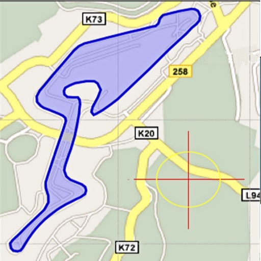
The app measures length, perimeter, and area on a map using an interactive crosshair. Users can trace map features, and dimensions update continuously.
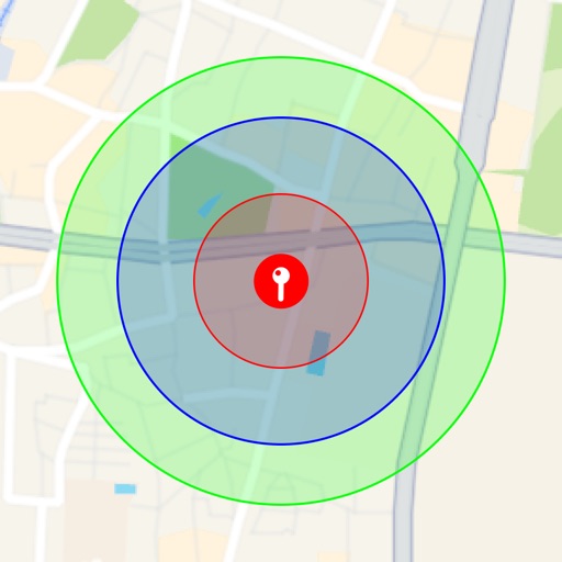
Visualize around map pins to compare distances. Set up to three per pin. Search locations and check nearby points of interest. Switch between standard and satellite map views. Automatically save pins for future reference.
The app helps users find postcodes and postboxes quickly. Users can search for postcodes by address or tap the map, and save selected locations for later access.
Area, lengths, and angles on maps using an interactive crosshair. Trace outlines to create connected points, updating area and perimeter in real time. Adjust radius for scaling features. View dynamic length and angle as you move the crosshair.
Navigation provides offline global maps for iPhone and iPad. Users can draw routes, view elevation profiles, and access detailed terrain maps without internet. Hikers and cyclists benefit from specialized route networks and clear map details.
Record shooting, calculate ballistics, manage assets.
The app records target and range shooting, calculates ballistics, and manages shooting assets like guns, ammo, and components. It calculates group size, average distance to center, velocity statistics, and recommended turret adjustments for targets.
Object dimensions using phone and reference objects like credit cards or DVDs. Snap photos for accurate in-plane measurements. Add custom reference objects with known sizes. Export measurement data for later review.
Book and unlock shared cars, e-bikes, and e-scooters. Reserve vehicles 24/7. View available options and locations. Confirm reservations and access vehicles via . Track trip details and manage payments. vehicles with friends.
The app visualizes distances between two locations alongside a user's hometown map. It translates remote distances into familiar hometown equivalents, making them easier to understand.
Ethanol Calculator allows users to determine the mix of pump gas and ethanol gas needed for a desired blend by entering specific details. Users can review past calculations for quick recalculation.
View live bus and train schedules with real-time updates. Track vehicle locations on a map. Receive alerts for schedule changes and delays. Plan routes using integrated data. Check arrival times at specific stops.