Point your device at a mountain to see its name, altitude, and distance. Identify peaks in a 360-degree AR view. Access data for nearly one million peaks worldwide. Uses 3D coordinates and gyroscope for accurate display.
by NYANKO SOFTWARE★ 4.6753 ratingsNavigationFreeData updated 2026-09-10
Real-world elimination games like Senior Assassin and Water Wars with friends. Join or local or global lobbies. Challenge others in instant matches. Track progress and compete for rankings. Share moments and humorous eliminations.
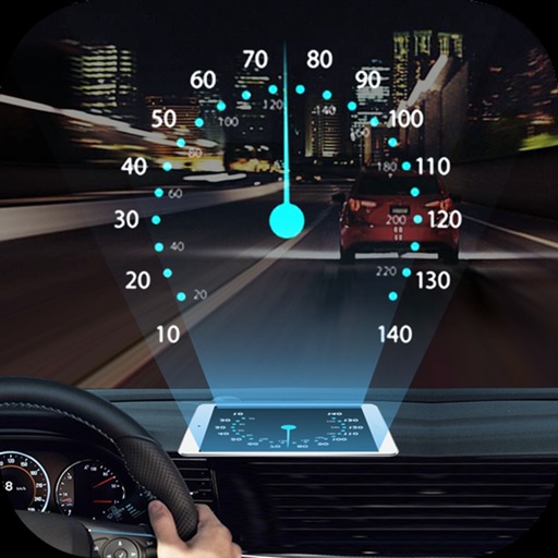
Projects speed, clock, weather temperature, cruise control, and now playing song information onto the windshield when iPhone is rotated and placed near the windshield. Displays data in landscape mode for easier visibility while driving.
Manage TV data with a database containing over 12,800 video channels. Sort satellites, search by channel name, name, radio name, or provider. View channel details including frequency, polarization, FEC, and symbol rate.
Record outdoor activities with topographic maps, waypoints, and elevation tracking. Log mileage, speed, time, and moving averages. Set breaks and receive audio alerts for splits and off-trail notifications. Import GPX files and auto-follow last .
Track running progress with personalized plans for 5K, 10K, half marathon, and marathon goals. Set weekly workouts, monitor pace and distance, and receive real-time feedback. Adjust plans based on performance and track improvements over time.
Record using iPhone's gyroscope and accelerometer to measure , , and duration. Track reaction time and store punch data. Compare , track progress, and share results.
View groomed and closed runs with a clear trail map. Share real-time locations with friends and track their positions. Record runs, log vertical feet and distance, and sync with Apple Health for workout data.
Rock climbing and bouldering guides for Tasmania. View route descriptions, maps, and topos. Navigate areas like Freycinet, Mt Wellington, and Ben Lomond. Access over 3000 routes and 1500 problems.
Save locations using auto-detection or search by name or GPS coordinates. Add notes, photos, and titles to each place. Organize and share saved locations with others.