Lets users measure distances and areas on maps. They can plot a radius around a point with customizable color and size. Share map images to indicate routes, areas, or radii. Export maps as images for documentation or communication.
by GV Software Solutions Limited★ 4.061 ratingsUtilitiesFreeData updated 2026-09-10
Offers real-time transit data and an official CTA map. Users can search routes, view transfer options, and check travel time, fare, and distance. The provides details on nearby attractions and current navigation updates.
The app plots areas on a map by adding landmark points or dropping pins. It calculates enclosed area and distances between points, with options to add interest points and photos.
Track location, speed, and altitude with real-time GPS data. Use a digital compass for direction. Access weather information and tag locations. Share coordinates and view maps.
View locations and coverage details using augmented reality. Tap on towers to see distance, provider name, and signal strength. Check electromagnetic radiation levels from nearby towers.
Provide turn-by-turn GPS navigation with lane guidance and spoken instructions. Display limits and integrated detection. Automatically record routes, showing distance, time, , and cameras encountered.
Navigate off-road trails and remote areas with maps and turn-by-turn directions. Mark waypoints, track routes, and view elevation data. Access terrain details and compass navigation without internet connectivity.
Navigate using a 3D map with interactive routes. real-time imagery of any location. Calculate distances and areas between points. Explore landmarks and locations globally.
3D maps and views of locations. Track real-time location with traffic data. Calculate distance from home. Plan routes and explore famous sites. Find directions and covered area during navigation. Use 3D world map for trip planning.
Access customer care through multiple methods. View real-time self-diagnostics based on device brand and model. Request uplift from the field to any active uplift request within 50 miles. Requires login to portal.
Find officially approved hiking, biking, running, and ski touring routes near you and worldwide. View detailed trail information, including difficulty, length, and elevation. Plan trips, save favorite routes, and access maps and GPS navigation.
Visualize distances on maps with customizable circles. Set parameters and units. Display areas to check proximity of locations. Track multiple points within defined ranges.
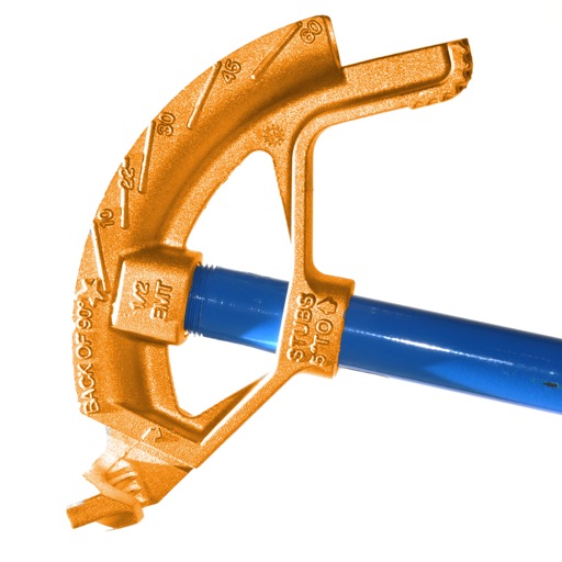
Calculate conduit bends with precise measurements and angle calculations. Input pipe dimensions and tool specifications. Generate bending templates and visualize the layout. Export data for use in projects.
Measure distances and areas on maps by tapping points. Switch between metric and imperial units. View precise measurements for property, routes, or land.
The app analyzes shooting groups and provides statistics for improvement. It offers instant scoring, pattern recognition, and detailed analysis of shot placement and group parameters.
Create and manage map radiuses with customizable center coordinates, , and color settings. Share URLs via email or text to display radiuses in any browser. Include names, notes, and choose from multiple coordinate and distance formats.