

Apps Like Navigraph Charts for iPhone and iPad
Navigate, track, and fly simulated flights
Access aviation and navigation data for flight simulation. View Jeppesen and IFR coverage at airports worldwide. Download and manage for use in simulated flights. Sync with flight simulation software for real-time data.
Navigraph Charts screenshots
Ranked alternatives
Showing 541–560 of 1,000 ranked alternatives.


NMEAremote
zapfware
Navigate, track, and share voyage data
Access real-time marine data such as navigation information, wind speed, and water depth. Connect iOS devices to a boat's network for data retrieval. Display data on a touchscreen interface. Share data with other devices on the network.

John Wayne Airport SNA + Radar
Renji Mathew
Track flights and manage trips easily.
The app provides live arrival and departure boards with flight tracking for John Wayne Airport. It offers tools to find alternate flights and includes a packing checklist for travelers.

MovieDex – Films & Anime
Jinal Paladiya
Watch movies, TV shows, and anytime
Browse movies, TV shows, and with filters for genre, trending, top-rated, and upcoming releases. Access current TV series and global trending content. Explore with fresh releases, trending titles, and genre-specific options.





Aeronautical & Aviation Charts
Corporate Smalltalk Consulting Ltd
View large charts with clarity.
The app handles large PDF and TIFF files, including aeronautical charts. It provides zero-time zoom and scroll for charts under 36 megapixels.

Helicopter Simulator 2015
Thetis Consulting
Fly helicopters, avoid traffic, and land safely
Control a with realistic flight mechanics. Navigate through urban environments with traffic, blimps, and cruise ships. Land on rooftops, parking lots, or an aircraft carrier. Fire missiles from an Apache .
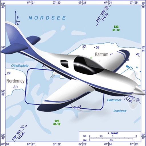
Platzrunde.DE
Christof Steuper
VFR charts for German airfields and helicopter sites.
The app provides VFR charts for German airfields and helicopter landing sites, including French AIP maps. Users require an account for content downloads and map updates, with monthly updates available for a fee.


DassaultAir3d
Dassault Aviation
View Dassault Aviation planes in 3D.
The app displays Dassault Aviation planes in 3D using augmented reality. Users can experience flying a Rafale from the pilot's seat and share flight photos.


MapTrace+
Nasir Jeevanjee
Track terrain and analyze coordinates
Trace paths on maps to analyze elevation, distance, gradient, and bearing. View elevation and grade profiles of traced routes. Calculate area of arbitrary paths. Use satellite or default map views for terrain study.

How we rank alternatives
Apps are ranked by functional similarity, category fit, rating confidence, and popularity.