Navigate using a 3D topographic map of the USA with offline access. View vector map data without internet. Use in vehicles or during hikes. Switch to global online maps with automatic caching for areas without coverage.
Track current and forecasted conditions for hourly, daily, and weekly periods. View radar imagery and forecasts. Save custom waypoints for favorite locations. Check tide information and buoy conditions. Receive observations and alerts.
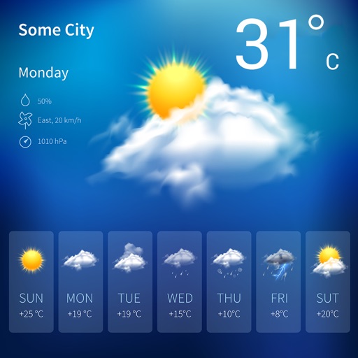
The app displays current weather conditions including temperature, humidity, and wind speed. It also provides a 5-day forecast for the user's city, requiring an internet connection.
View real-time radar and forecasts. Receive severe alerts. Track road conditions and live hurricane streams. Access detailed insights from meteorologists. Share updates and emergency alerts with others.
The app displays aviation weather observations and forecasts using a maps-based interface. Users can view METARs and TAFs in coded or translated formats, with color-coded pins indicating forecast or observation availability.
View current conditions, forecasts, and radar images for specific locations. Track temperature, precipitation, wind speed, and humidity. Receive alerts for severe . Share data with others.