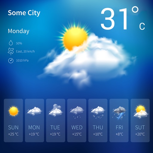
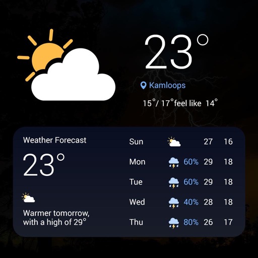
View forecasts with satellite maps and Doppler . Check hourly temperatures and hurricane alerts from NOAA. Access live traffic updates and emergency transit alerts. Track current sun position and daily history.
View real-time images for rain, snow, and mixed precipitation. Receive severe alerts. Get 24-hour precipitation forecasts. Access satellite cloud cover imagery. Select from standard, hybrid, or satellite map backgrounds.
Check hourly and 10-day forecasts with humidity, precipitation, pressure, and visibility details. View wind direction and speed. See 'feels like' temperature and UV-index. Track live rain, snow, drizzle, and hail radar. Save unlimited locations.
View current conditions and hourly forecasts. Access maps for rain, snow, wind, and lightning. Track alerts and activity. Check air quality indexes and receive personalized notifications. Add widgets to home screens.
View current and forecasted with 15-day predictions and 72 hourly updates. Track rain, snow, wind, and storms. Monitor dew, UV index, humidity, and air pressure. Display high and low temperatures in Celsius or Fahrenheit.
Provide current data based on GPS or IP location. Select any city globally for forecasts. Display hourly data for 72 hours and daily forecasts up to 15 days. Offer Fahrenheit or Celsius temperature options. Show comfort level indicators.
View current, hourly, and 10-day forecasts. Receive storm warnings and pollen level updates. Access 20 maps. Set alerts for severe . Track real-time conditions. Share forecasts via social media. Customize alerts for specific locations.
Displays current with minimum and maximum temperatures. Shows 72-hour and 10-day forecasts for global cities. Automatically detects location. Includes animated satellite maps with wind, rain, temperature, and cloud layers.
View current and weekly forecasts with times for multiple locations. Customize parameters and layouts. See animated scenes and backgrounds. Track temperature, precipitation, and wind conditions. Set up alerts for severe .
View current conditions and hourly forecasts. Access high-resolution satellite imagery and 250-meter radar. Save favorite locations. Receive video forecast updates and blogs. Track future radar movements.
View current and forecasted weather with six-day data. Check radar and satellite imagery. Track wind, rain, tide, swell, and UV levels. See moon phases and sunrise/sunset times. Locate specific areas for detailed forecasts.
Provides 10-day forecasts with morning, afternoon, and evening details. Displays rainfall radar, temperature ranges, and perceived temperature. Shows wind force and direction, snowfall limits, and fog alerts.
View real-time maps for severe alerts. Check hourly and daily forecasts. Track precipitation, temperature, and barometric pressure. Receive storm and disaster warnings. Monitor current conditions and historical data.
Provide hyper-local forecasts with up to 48 hours of hourly data and 16-day forecasts. Receive severe alerts for your current location. Set daily notifications for updates. Choose locations and view detailed conditions.
View real-time maps with high-resolution layers. Track tropical cyclones, storm cells, and lightning strikes. Access up to 12 hours of data. Plan activities based on accurate predictions.
View real-time animated images with color-coded precipitation. Check future forecasts and detailed data through interactive map layers. Access fire and air quality indexes. Identify freezing rain for road hazard warnings.
Watch live and on-demand newscasts with local news updates. Access real-time weather forecasts, live radar, and hour-by-hour updates. View investigative reports and bonus content exclusive to the .
View live weather radar and satellite imagery. Track precipitation types and lightning. Access high-resolution forecasts using advanced models. Set location-based alerts. Share weather data with others.