Book services in Austin, Round Rock, Cedar Park, Georgetown, and Pflugerville. Set appointment times online. Pay with flat rates. Request refunds if unsatisfied. Track service history and receive confirmation emails.
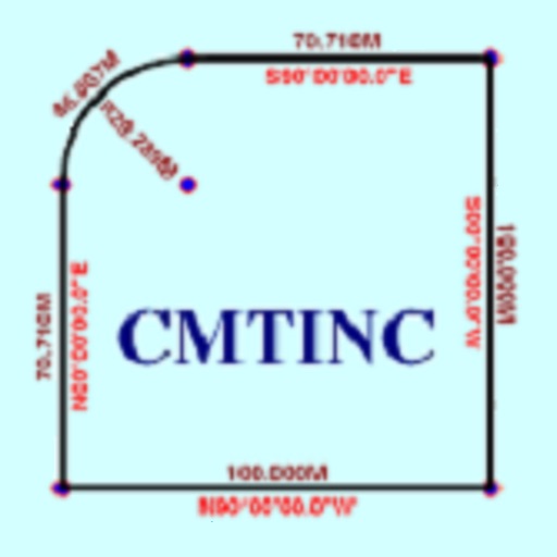
The app converts real property descriptions into boundary maps. Users enter angles and distances to draw property boundaries, displaying closure error, total area, and perimeter.
The app simplifies point-to-point delivery for consumers and businesses. It offers GPS tracking and instant communication from pickup to receipt, with delivery verification and signed confirmation.
The app displays MrSID and JPEG 2000 imagery, along with vector formats like Esri Shapefile and KML. Users can connect to Dropbox, view online base maps, save locations, adjust layer opacity, and select image bands for multispectral images.
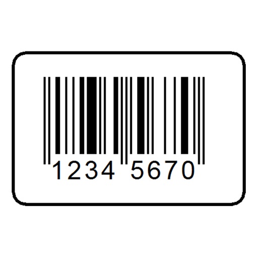
The app scans barcodes and QR codes, including URLs, contact details, and calendar events. It searches for product prices and details from major retailers and allows users to perform actions on scanned data without leaving the app.
Facilitates real-time collaboration and situational awareness for field operatives. Supports surveillance, tactical, and covert . Includes comprehensive management tools for task tracking and data analysis.