Monitor real-time vehicle data including location, speed, and status updates every ten seconds. View altitude, address, and ignition status. Access tracked object information without refreshing or relogging in.
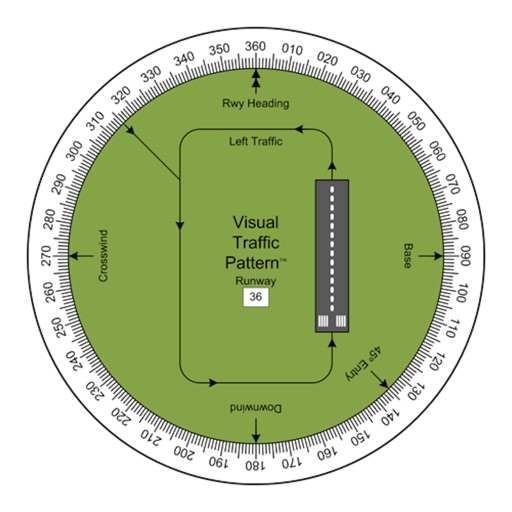
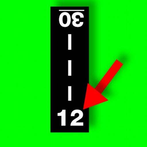
Allows pilots to view runway patterns with finger rotation. Display includes left and right patterns, crosswind, downwind, base, and 45-degree entry headings. Magnetic runway orientation matches aircraft heading for approach visualization.
Calculate using device sensors without internet or location data. Track average and gusts in the background. Includes a Watch with display on the watch face.
Measure and display decibel levels in real time using a gauge. Record maximum, average, and minimum decibel values with a logarithmic graph. View accurate level readings. Access a history page to review past decibel data.
Information is provided based on current location. Users can view administrative boundaries and select language for display. Information is retrieved instantly and supports 147 languages.
The app provides coordinate reading and navigation for users needing exact position data. It supports multiple coordinate formats and works without a connection for conversions and saved places.
Get accurate GPS and latitude longitude instantly. Display in multiple formats including DMS, UTM, and MGRS. Convert between coordinate systems. Share precise location data directly.
Detects electromagnetic interference using the iPhone's compass. Displays heading changes when metal objects are nearby. Helps locate lost keys or identify metallic items. Provides simple visual feedback for experimental use.
Calculate wind components, temperatures, altitudes, and airspeeds. Input runway number, wind direction, and speed. Determine headwind, tailwind, and crosswind values. Adjust for parallel runways based on magnetic heading.