Determine UTM references, hemisphere, and WGS84 coordinates. Display device accuracy readings. Share location via Twitter. Includes USA UTM zone guide.
by Michael Irving★ 4.6183 ratingsNavigationFreeData updated 2026-09-09
The app provides GPS map navigation for outdoor adventures in UK National Parks. It offers online and offline modes with detailed charts, GPS tracking, and name searching.
The app creates areas using deed calls and generates grid points. It helps users locate boundaries and grid points, useful for forestry and farming tasks.
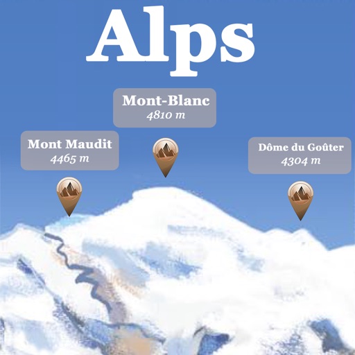
The app references over 20,000 peaks, passes, lakes, and shelters in the Alps. Users can find names, altitudes, and distances to summits and locate various points of interest on a 2D map.