

Apps Like New Forest Maps Offline for iPhone and iPad
New Forest Maps Offline screenshots
Ranked alternatives
Showing 81–100 of 1,000 ranked alternatives.

Topo Nomad
Delcartes LLC
Download maps for offline GPS navigation
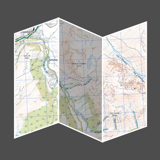
Download high resolution USGS topographical maps for offline GPS use. View maps aligned with Apple's map kit for easy reference. Rotate, zoom, and navigate maps with precise touch controls. Explore geographical details and historical data.

OutDoors GPS – Offline OS Maps
RoadTour LLC
Navigate trails, track routes, and map
Navigate trails and routes using detailed and turn-by-turn directions. Track location and elevation. Save favorite spots and share routes. Import GPX files and set waypoints. View terrain and land features for outdoor exploration.

Nevada Pocket Maps
Alex Gugel
Download and guides for parks
Plan trips to parks with downloadable and guides. Access 70+ parks, state parks, monuments, and forests. View 200+ from national agencies. Use motor vehicle use and OHV . Find camping locations and trail details.


Rocky Mountain NP GyPSy Guide
Gypsy Guide GPS LLC
Drive and listen to guided tours
Plays audio commentary automatically as you drive, highlighting points of interest with stories, tips, and directions. Includes 135+ audio markers along scenic routes. Provides driving instructions and recommendations for activities and attractions.

Maps+
IZE, Ltd.
Save locations, set reminders, and customize maps
Save locations with color-coded bookmarks and import GPX files. Set location-based reminders. Search with autocomplete. Access current location details. Customize settings with modular options.

Explore Michigan
Code Bits LLC
Parks, lighthouses, and maps
Browse and filter outdoor attractions like State Parks, National Parks, and lighthouses. View detailed location information, maps, and activity guides. Plan trips with specific location-based details and navigation tools.


Topo Reader
Delcartes LLC
View maps, import geospatial files, navigate offline
View and navigate topographic maps offline with full resolution. Import Geospatial PDFs and align maps accurately. Rotate maps and reference them over Apple Maps. Track location and zoom in for detailed terrain features.

Yosemite National Park
Jorge Herlein
Explore history and geography offline
Explore with an offline guide covering introduction, history, geography, climate, geology, biology, management issues, activities, entry details, transportation, trail maps, and practical information.


Maps 3D PRO - Hike & Bike
movingworld GmbH
Navigate trails, roads, and terrain
View 3D terrain with elevation details. Plan routes using detailed topographic . Access footpaths and natural features. Track progress with distance and elevation metrics. Share and routes with others.

Orientation: Compass & Map
chaviro software
See places relative to current position.
The app displays up to six chosen locations simultaneously. Users can view the direction and distance to each selected place on a compass and check their coordinates.
How we rank alternatives
Apps are ranked by functional similarity, category fit, rating confidence, and popularity.